🇧🇴 From platform to policy: institutionalizing landscape management in Bolivia
What does it take to move from dialogue to lasting governance in complex landscapes? In Bolivia’s Chiquitanía region, the answer began with watershed management.
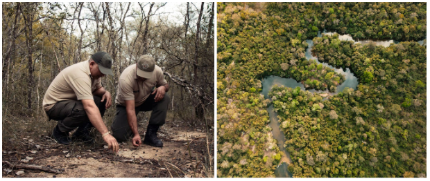
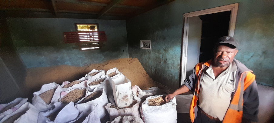
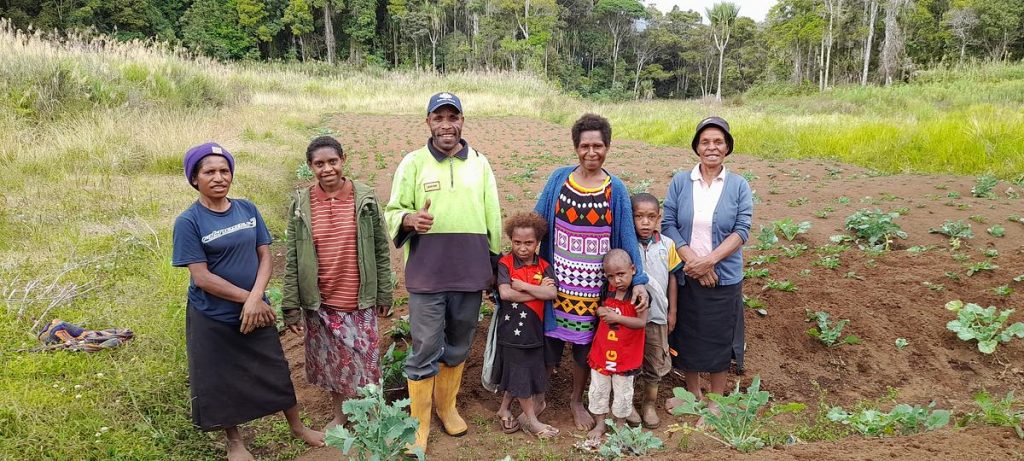
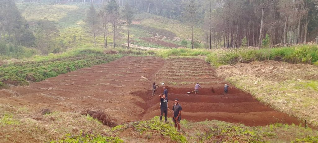
Bolivia’s Chiquitanía is a region of vast forests, scarce water, and competing land uses — where Indigenous communities, migrant farmers, ranchers, and multiple tiers of government have historically struggled to coordinate. The Paisajes Resilientes project, implemented by GIZ and funded by the European Union and Germany’s BMZ, used a simple but powerful entry point: water.
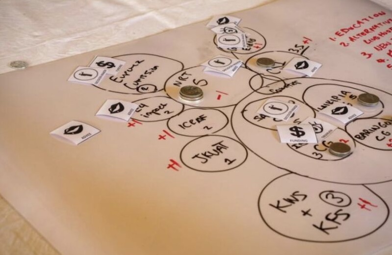
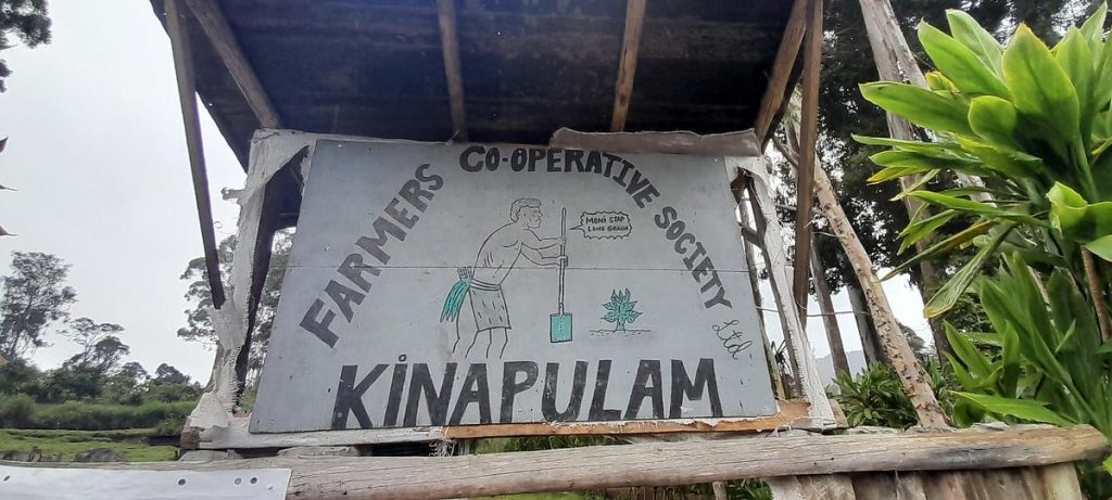
By organising governance around the Paraguá, San Martín and Zapocó river basins — and subdividing them into eight more manageable sub-watersheds — the project established or reactivated eight local management committees. These became the core of multi-stakeholder dialogue in the landscape, bringing together communities, municipal authorities, NGOs, and the private sector around a shared concern that everyone understood: water scarcity.
Over time, these committees evolved from coordination spaces into formal governance institutions. The project helped develop the Santa Cruz Departmental Plan for Water Security and Climate Change, embedded conservation into municipal law, and launched SIMA — a public environmental monitoring platform now officially administered by the Santa Cruz Departmental government. Two financial mechanisms supporting sustainable production were also established, both administered by the Bolivian Development Bank.
The Chiquitanía experience shows that ILM does not have to start with grand visions. Starting from a practical, shared challenge — and strengthening the institutions that already exist rather than creating new ones — can translate multi-stakeholder dialogue into governance frameworks that outlast any individual project.
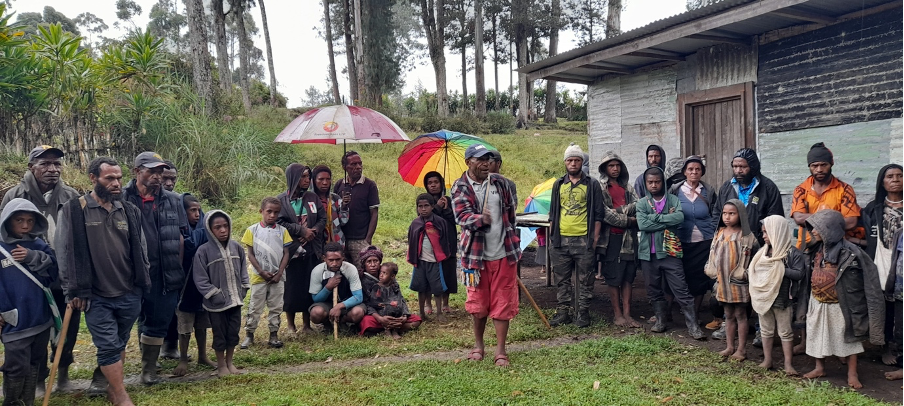
🇵🇾 Shaping the unmapped: governing Paraguay’s overlooked frontier
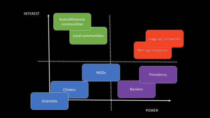
What does it take to practice Integrated Landscape Management in a place with almost no permanent human presence, weak State institutions, and highly unequal power dynamics?
Paraguay’s northern Chaco Cerrado is one of the most remote and ecologically threatened regions in the country — a vast frontier where the State had no continuous presence, the Ayoreo people sought to reconnect with ancestral lands they could not permanently inhabit, and powerful cattle ranchers held most of the practical authority. It was also, until recently, almost entirely unknown to the Paraguayan public.
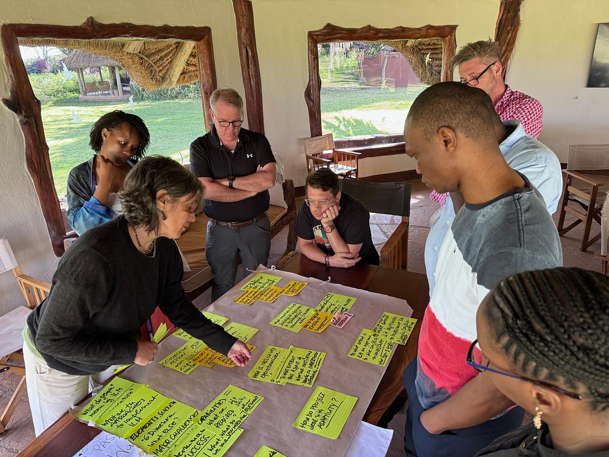
Into this governance vacuum stepped the CERES project, led by WWF Paraguay with EU funding. Rather than applying a fixed ILM model, the project learned to adapt: when a formal land-use planning process stalled, the team pivoted to supporting the legal titling of the Cerro Chovoreca Natural Monument as a more achievable first step toward ecological connectivity. That decision proved transformative. A multi-sectoral working group — including ranchers, civil society, the Ministry of Environment, and multiple national agencies — achieved the formal titling in June 2024, in an event attended by the President of Paraguay.
Key to the project’s success was its willingness to operate through informal mechanisms — WhatsApp groups, targeted meetings, verbal agreements — and to hire external facilitators when WWF’s conservation identity made it a perceived non-neutral actor. It also accepted that supporting the Ayoreo community’s reconnection with their land might, for now, take the form of periodic visits and cultural monitoring rather than permanent settlement.
In a landscape where governance had long operated at a distance, CERES showed that ILM is less about perfect plans and more about patience, pragmatism, and anchoring small steps in lasting institutional change.
🇪🇨 Water security as a bridge in Ecuador’s high Andes
What does it take to bring diverse actors together in fragile, contested landscapes? In a parish in Ecuador’s Bolívar Province, the answer turned out to be water.
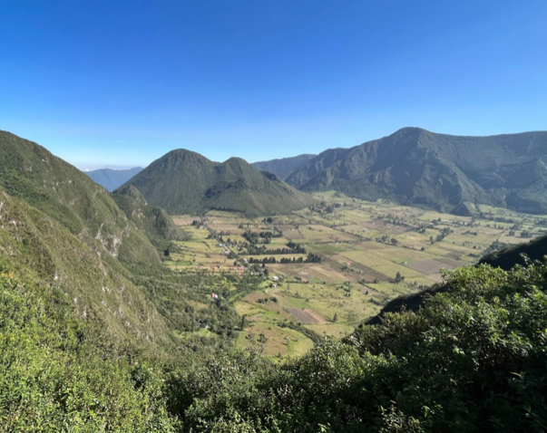
The páramo ecosystems above Simiátug, a Kichwa Indigenous parish in Ecuador’s Bolívar Province, regulate water for thousands of people downstream. Yet for years, those same highland grasslands were seen primarily as land for expansion — grazed by cattle, burned for pasture, degraded by the very communities that depended on them.
The Paisajes Andinos project, implemented by FAO Ecuador with EU funding, found its entry point in this contradiction. By centering its work on water security — something every household, farmer, and local government in the area urgently cared about — it was able to reframe páramo conservation not as a restriction but as a shared investment. Water boards, Indigenous communities, producer associations, municipal governments, and national ministries aligned around a common concern in ways that earlier conservation efforts had never achieved.
The result was the Simiátug Water Protection Area (APH): a legally recognized governance structure co-created with communities through a participatory process, backed by a management committee with real decision-making power, and embedded within national policy frameworks including Ecuador’s Water Resources Law and National Páramo Conservation Plan.
The project also adapted in important ways along the way — introducing “Children’s Corners” in workshops so that women with caregiving responsibilities could participate fully, creating community Service Centres to provide sustainable production alternatives, and forming savings cooperatives where conventional finance was absent. Today, women make up 51% of project participants, reflecting a meaningful shift in who holds leadership in the landscape.
Simiátug is now a reference point for what participatory water governance can achieve in fragile Andean ecosystems.
🇨🇴 Inclusive collaboration: reconnecting a Colombian wetland system
Colombia’s largest coastal wetland is a Ramsar site, a Biosphere Reserve, and home to more than 4,000 artisanal fishing families — yet decades of fragmented governance, conflict, and ecological degradation have pushed it to the edge. The Paisajes Sostenibles project worked to change that.
The Ciénaga Grande de Santa Marta (CGSM) is Colombia’s most important coastal estuarine system — more than 500,000 hectares of mangroves, wetlands, and open water in the Caribbean department of Magdalena, supporting fishing families whose culture and livelihoods are inseparable from the ecosystem. It is also, by many measures, in crisis: road infrastructure has blocked natural water inlets, disrupting salinity regimes and triggering the explosive growth of macrophytes; agro-industrial pollution seeps from banana and palm plantations; and years of armed conflict have corroded the trust between communities and the institutions meant to serve them.
The Paisajes Sostenibles project — coordinated by FAO and implemented with INVEMAR, the Ministry of Environment, and WWF under the EU-funded Herencia Colombia programme — brought an ILM approach to this complexity. Rather than starting from scratch, it built on INVEMAR’s three decades of scientific presence in the CGSM and the relationships that presence had generated. That trusted foundation made it possible to convene, for the first time, genuine dialogue between artisanal fishing communities, national environmental authorities, regional agencies, women’s enterprises, and the private sector.
The project’s most innovative governance contribution was the Territorial Water Council, an umbrella structure of six Territorial Water Boards, now formalized by ministerial resolution, that provides communities with real representation in decisions about water and ecosystem management across the landscape. Alongside this, the project co-designed practical solutions with communities — including a macrophyte-harvesting machine that proved so effective that the community group running it now offers it as an independent service — and used participatory experiments to shift fishers toward more sustainable crab harvesting practices.
Significant challenges remain: the Ramsar management plan has not been formally adopted, institutional fragmentation persists, and trust-building is ongoing. But the CGSM experience makes a compelling case that in complex, conflict-affected landscapes, durable change begins with presence, listening, and the slow, concrete work of rebuilding relationships.