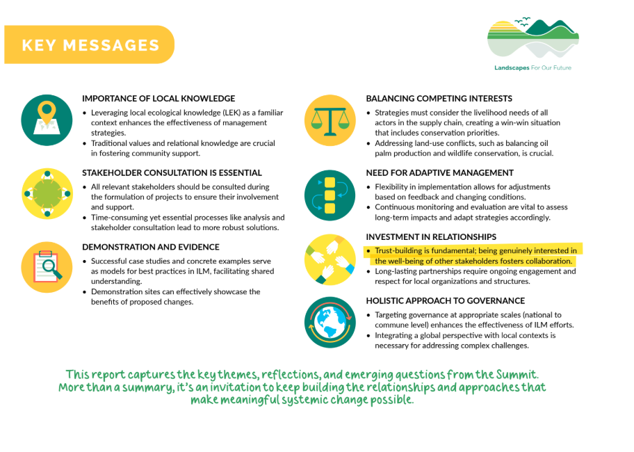
Insights from ILM in action
We were delighted to receive authorisation to extend our work into a no-cost extension (NCE) period that will see us formally ending the Central Component in September 2026. This gives us room to breathe, think, consider and consolidate our learning from four surprising and revealing years, while still offering support to LFF projects that have themselves been granted NCEs.
So, what have we got planned?
Our work is currently dominated by two major outputs:
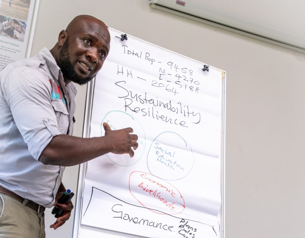
‘Global learning’ work – Our teams have been visiting most of the LFF projects, using a consistent methodology, to explore the ways in which each project has inclined towards ILM: the ways in which they have understood it, negotiated it, and the skills and strategies they have utilised to obtain it. I think this is going to be a very insightful product. The team has been dialoguing a lot on how we’re going to analyse this huge body of data, while still being sensitive to the perspectives and knowledge of the individual project teams. I see this exercise as advancing understanding of ILM and how it can be successfully achieved. Shout-out to the pair leading this initiative, Valentina Robiglio and George Schoneveld!
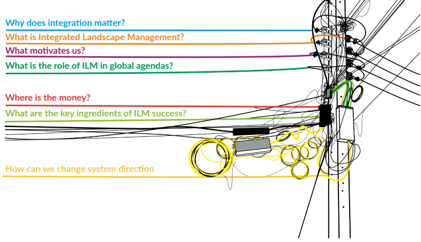
Then there’s the ILM Playbook. For me, this has been – and continues to be – a labour of love. My relationship with the AI tool, Claude, has flourished – I have found him (it?) an indispensable foil – to debate and argue with. My conversations with him run into the gigabytes.
What will the Playbook be? It is intended to fulfil several roles: an online course for would-be ILM practitioners, a bedrock for our accumulated understanding of what we have learned from the LFF, and a provocation to existing ILM practitioners. Whatever the case, it will be designed and, we hope, used to inspire new thought and reflection – and to advance a global ILM agenda.
And then there’s the plus, plus, plusses: additions to our Landscapes in Practice series, case studies and thematic papers, a series of country briefs, and a number of events that we are still discussing.
The next seven months will be busy and rewarding, and we look forward to sharing these outputs with you all. In the meantime, may 2026 be your ILM year!
– Kim Geheb
Coordinator
Central Component
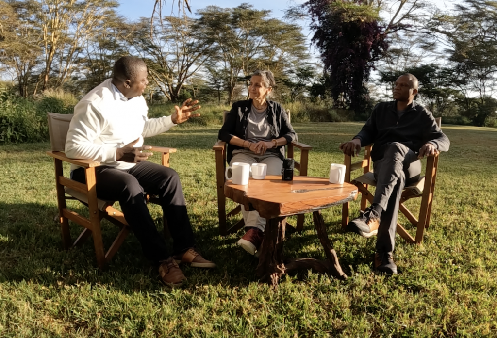
Aha! What LFF taught us
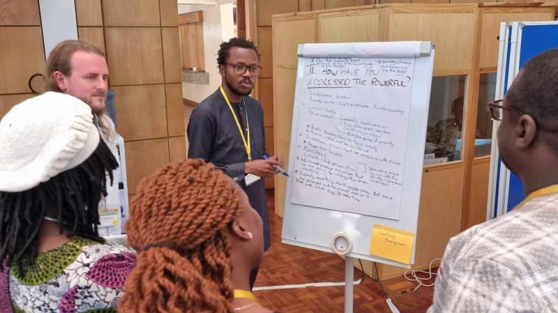
As the Central Component, we spend a lot of time talking about co-learning and co-creation – about arriving in landscapes with curiosity rather than prescriptions. But as the Landscapes For Our Future programme comes to a close, we turned the question inward.
What surprised us?
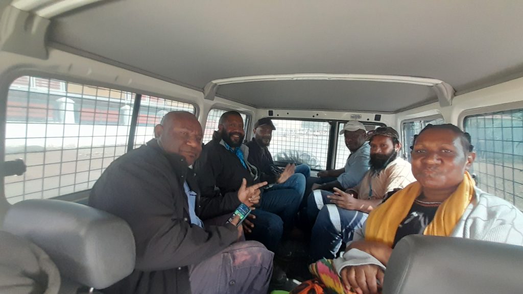
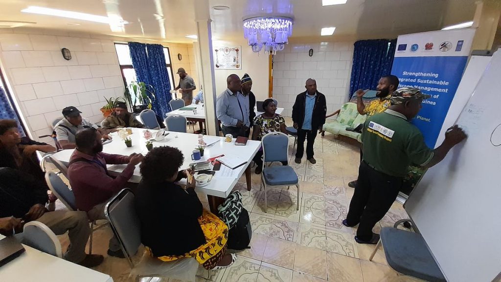
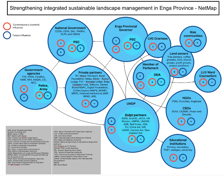
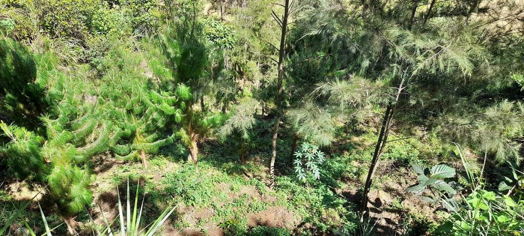
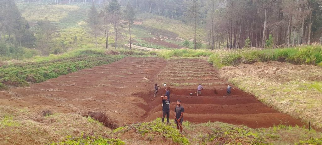
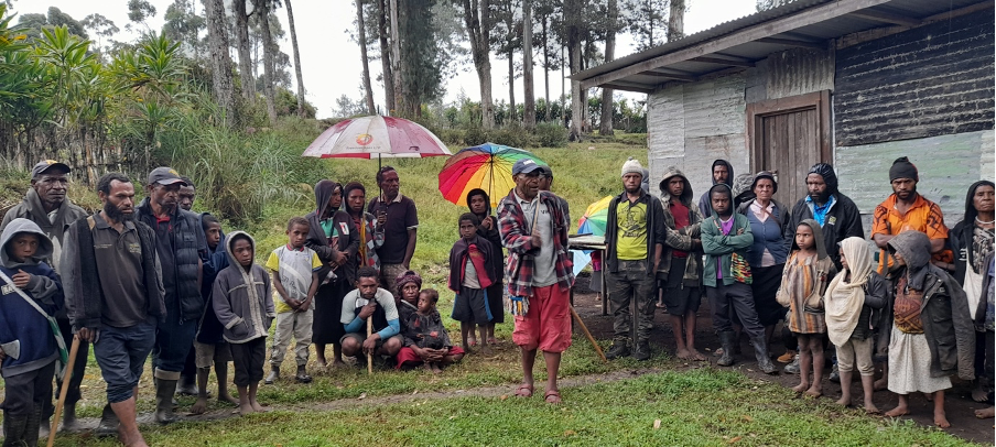
Perhaps it was the penny dropping in Laos that strong team dynamics really matter when it comes to applying and adapting ILM, or perhaps it was the realization in Vietnam that sometimes landscape solutions need to be found from well outside the landscape. Perhaps it was seeing in Papua New Guineathat ILM has significant peace-building potential, or in Brussels, that ILM can be a really powerful way of heading off the unintended consequences of large-scale infrastructure projects.”
– Kim Geheb
LFF showed me that you don’t transform landscapes ONLY by rolling out innovations – as necessary as these are. By aligning people, incentives, and power, these innovations can succeed over time. Our innovations succeed when they’re human-led — when they start with listening and trust – and the technical solutions then follow.”
– Khalil Walji
For me, the main takeaway is that ILM succeeds when it stays grounded in real-life needs, remains flexible in practice, and puts people at the centre – not just in principle, but in delivery.”
– Divine Foundjem
I think that ILM is not about great project design. What generates a good ILM performance is probably something we do not talk about explicitly: the relational aspects. ”
– Valentina Robiglio
One key ILM insight for me is that trust and process matter more than tools.”
– Natalia Cisneros
I think my most significant lesson is that ILM is fundamentally a multicomponent process… Conceptualizing how integration worked across these dimensions pushed us to see the dimensions more as strands in a larger thread that wound around and supported the collective whole.”
– Peter Cronkleton
REFLECTIONS FROM THE FIELD
What does it take to bring diverse actors together in fragile, contested landscapes?
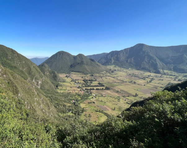
In a parish in Ecuador, the answer turned out to be water.
This case study shows how a shared concern became a catalyst for collaboration – helping government, communities, and technical partners align priorities, build trust, and turn Integrated Landscape Management from concept into practice. While grounded in one place, the lessons are highly transferable.
If you’re navigating fragmented governance, local capacity, or the challenge of turning strategies into action, you’ll find practical insights here – wherever you work.
When governance doesn’t exist, how do you make ILM work?
What does it take to practice ILM where there’s almost no permanent state presence, weak institutions, and deeply unequal power dynamics?
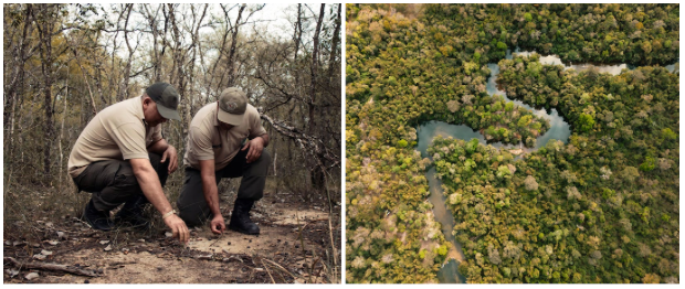
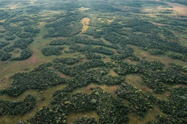
In Paraguay’s northern Chaco, the answer wasn’t perfect plans – it was adaptive learning, neutral facilitation, and creative coordination in a governance vacuum. The CERES project helped establish the first sustained collaborative processes in a landscape long managed at a distance, showing how small, pragmatic steps can unlock durable institutional change and bring unlikely partners together.
If you’re working in contexts where governance is fragile, actors are distant or disconnected, or power imbalances are the norm, this case study offers practical insights on sustaining momentum, building legitimacy, and anchoring collaboration without waiting for ideal conditions.
PUBLICATIONS
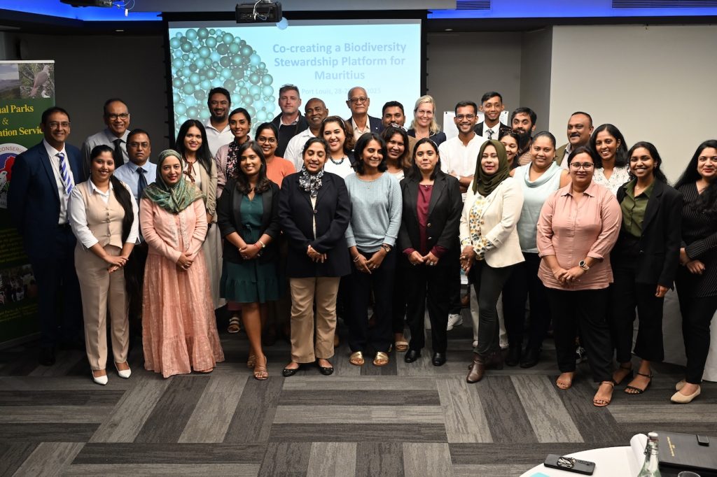
From dialogue to delivery
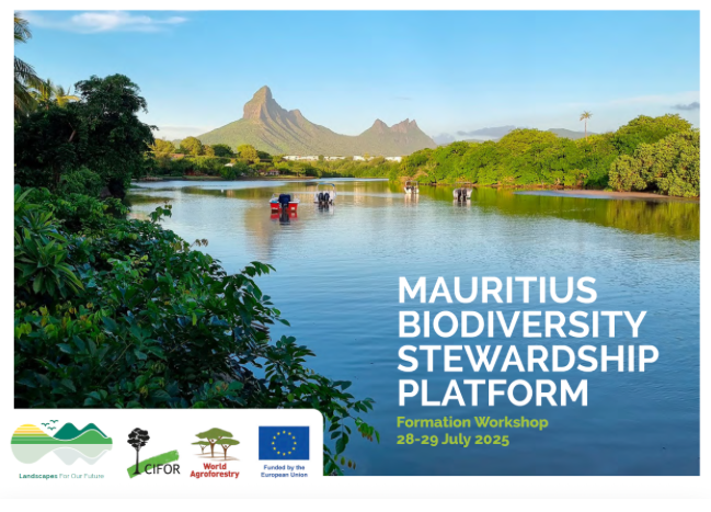
You read the blog, now read the report. 😀
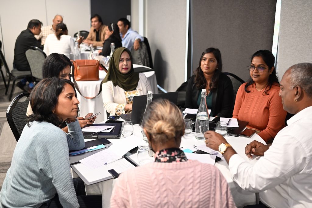
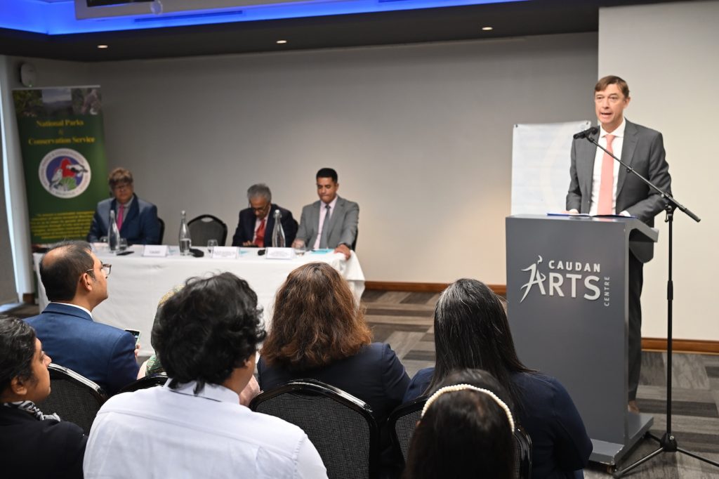
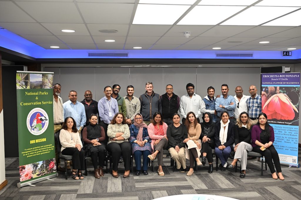
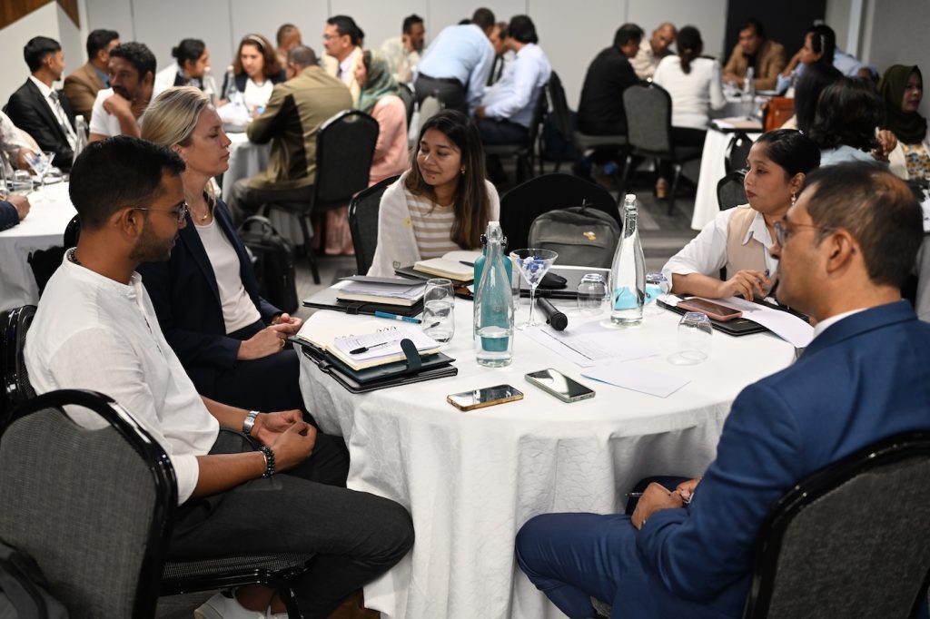
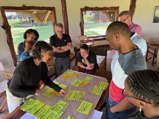
Our report on the Mauritius Biodiversity Stewardship Platform formation workshop goes beyond documenting an event – we wanted to capture a practical blueprint for building multi-actor platforms by using inclusive methods that surface diverse perspectives and move groups from dialogue to concrete action.
Even if you’re working in a different landscape, you’ll find actionable ideas for designing collaborative processes that build trust, generate momentum, and translate participation into implementation.
What we’ve been reading
Why Integrated Landscape Management matters
This short post is a great reminder of why we invest in ILM in the first place: landscapes are systemic, and so are the challenges we face — from food insecurity to climate vulnerability. By bringing farmers, governments, communities and the private sector together around shared resources like land and water, ILM strengthens food systems, livelihoods and resilience in ways that sector-by-sector approaches simply can’t.
Learning from doing: Closing knowledge gaps in integrated landscape research
This special feature collection highlights a big lesson for the research–practice interface: there are still critical gaps in how integration is defined, studied, and reported, especially around politics, power dynamics, gender dimensions and local knowledge. A key takeaway is that learning from implementation and empirically documenting what works (and why) remains essential to advancing ILM as both a practice and a field of study.
Best practices to benefit biodiversity and achieve resilient and sustainable infrastructure
This resource underscores how infrastructure planning and biodiversity outcomes are deeply connected. It offers practical guidance on how developers and governments can design infrastructure that supports ecological functions — a reminder that ILM isn’t only about social processes, but also about building systems that are sustainable from the ground up. (No citation available online but draws on best-practice principles.)
Do they actually work? Social conflict duration and conflict resolution mechanisms in Peru
Early evidence from Peru suggests that popular conflict-resolution mechanisms — like dialogue spaces — may not always shorten conflicts. In some cases, they can prolong engagement if credibility, capacity and broader institutional support are weak. The insight here for landscape practitioners is that mechanisms for dialogue need careful design and legitimacy to help transform conflict, not just host it.
Power and its discontents: The long road to systemic change in the aid sector
This article challenges the myth that incremental shifts in practice alone will rebalance deep power inequalities in development systems. While localisation and “shift-the-power” initiatives are gaining ground, the authors argue that meaningful, systemic change requires transforming where decision-making and financial power actually sit, not just boosting local participation in existing structures. It’s a crucial insight for anyone committed to genuine co-creation.