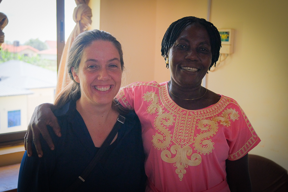
It’s a hot and humid June day in Kade and the atmosphere is even warmer: smiles and banter, colourful clothing and demonstrative greeting. There’s a palpable sense of achievement and mutual congratulation. And rightfully so: today is the closing ceremony for an innovative three-year project that has proved its premise and its worth.
The EU-funded Governing Multifunctional Landscapes (GML) has been working in Eastern Ghana’s Atiwa landscape to develop a jurisdictional approach that can decouple agricultural expansion from deforestation. “Successful experiences around the world show that jurisdictional approaches can reconcile what might often be seen as conflicting objectives,” explains George Schoneveld, a principal scientist with CIFOR-ICRAF. “Enhancing production on existing farmland, conserving natural resources and creating value for smallholders: these can all be achieved if all stakeholders within a jurisdiction are brought together.”
That all sounds excellent, but let’s take a step back: what is a jurisdictional approach?
The “jurisdictional approach” is a method of landscape governance that focuses on building multi-stakeholder collaboration, negotiation and decision-making within whole administrative boundaries. It brings together the different private, public and civil society actors that are present in a particular landscape, to collaborate toward conservation, supply chain sustainability and green development goals.
GML has convened multi-stakeholder platforms in the form of resource-based working groups focused on deforestation-risk commodities (cocoa, oil palm, rubber and mining reclamation) in two jurisdictions adjoining the Atiwa Range Forest Reserves in south-eastern Ghana to build the business case and action pathways for climate-smart, forest-friendly, socially inclusive development.
The overall goal of each of these is to come up with a ‘Landscape Development Strategy’ for its sector that aligns with the priorities of the local authorities and multi-stakeholders in the landscape and wholly owned by local governments, traditional leaders, smallholder farmers, agricultural producers, forest users, companies and other value and supply chain actors.
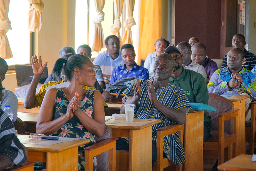
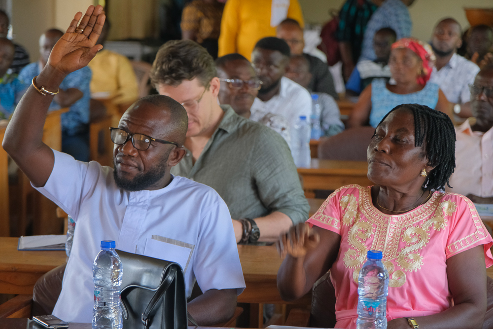
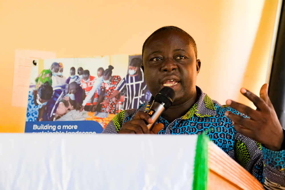
Back to Kade, the capital of Kwaebibirem Municipality, where those varied stakeholders are all gathered and greeting each other so warmly. The opening address of this closing ceremony sets the tone for the speeches that will follow, outlining the successes and – with frankness and humility – the lessons learned through the GML processes. Speaking on behalf of the Municipal Chief Executive for Kwaebibirem, Seth Antwi Boasiako, Municipal Coordinating Director Fred Owusu Akowuah notes how the project has created a platform to bring actors in each value chain together to discuss issues that affect their operations.
“This has afforded the Assembly with the opportunity to better understand some of the cross-cutting issues,” he notes candidly, highlighting the significant and far-reaching outcomes of these insights: “Through this, we have updated our Medium Term Development Plan (MTDP) to be inclusive and clearly capture how tree crop value chains can be purposefully used as tools for rural development.
“With this knowledge base,” he continues, “the local economic committee of the Assembly has been strengthened and empowered to deal with issues cropping up in the tree crop farming sector. Most importantly, participation of the staff of the Assembly in GML activities has built our capacity to rethink development planning from the perspective of the landscape and environment within which we live.”
That’s when he mentions the map. “This is reinforced by the Participatory 3D Map we created and recently updated through the support and facilitation of CIFOR. The 3D Map helps us to better appreciate and communicate the issues of environmental degradation and the need for sustainable landscape development.”
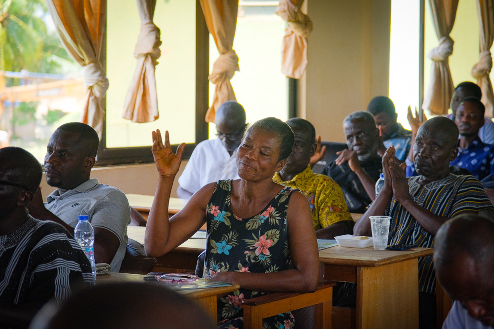
The 3D map in question is mentioned by a number of the speakers that follow – each working group is given the opportunity to outline its lessons learned and the key points of the strategies they have now developed. The map is clearly a source of pride, and the process of its coming-into-being has been a notable catalyst to insight and cooperation.
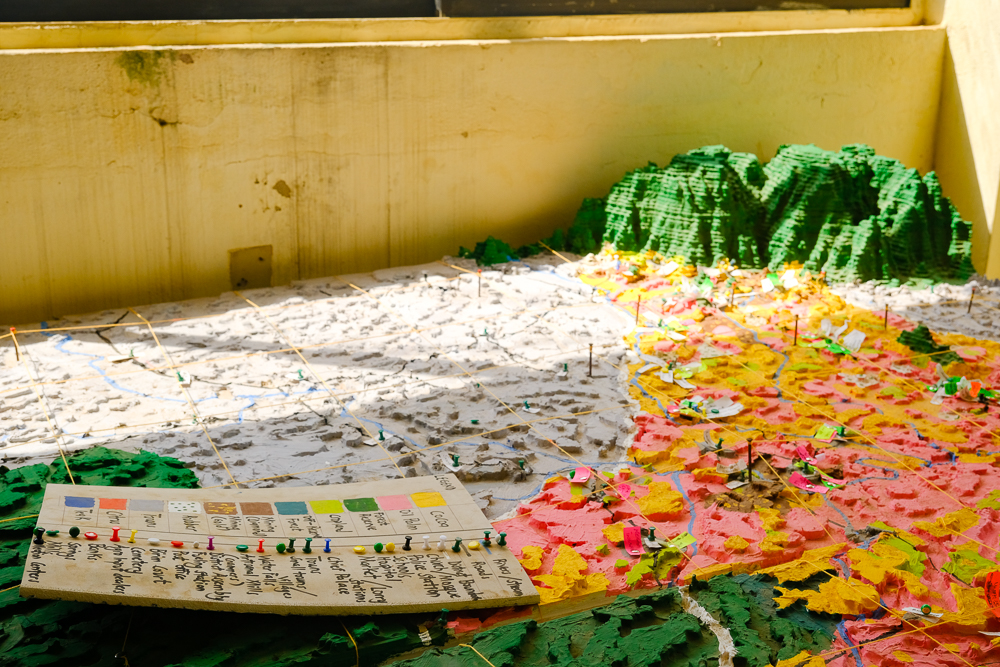
Testament to its importance is the fact that boxes of documents have been stacked into toppling towers, relegated to the edges of an adjoining room, to make space for this large relief sculpture that graphically portrays the landscape – from its forested mountains with their unique ecosystem, to its three major rivers that supply the capital city’s drinking water, to the new roads and infrastructure and, on the western fringes, the thriving agriculture scene in which large plantations run by international and Ghanaian companies coexist with smallholders and artisanal gold miners.
In an interview in that room later, Doctor Alfred Asuming Boakye of the Forest and Horticulture Crops Research Centre at the University of Ghana sweeps his arm across this colour-coded plaster of Paris rendition, with its strings and pins and sticky notes, and he speaks of empathy. Pointing to the various colours – the grey-painted representation of the built areas, the greens of the plantations and vegetation, and the jarring shades of the areas degraded by illegal mining – he marvels at the power of these various actors coming together to discuss their perspectives via the multi-stakeholder platforms.
“But when we came together, we realised that there were things we may have missed. And actually, there were things we had missed. And so, they brought their perspectives on board and then we brought our perspectives on board and everybody brought theirs. And so, you have this comprehensive aspect with respect to challenges,” he says, still waving his hands across the 3D model’s comprehensive representation of the landscape. And that’s when he mentions the e-word.
“If you don’t share your problems, you don’t get empathy. But once you share your problems and people understand where you are coming from, they appreciate it. And so, if there’s any kind of aid to help you, you will know that these people understand you very well and, based on that, will be able to provide the needed help. So, the empathy is very important, and this will come out as a result of these collaborations we have had.”
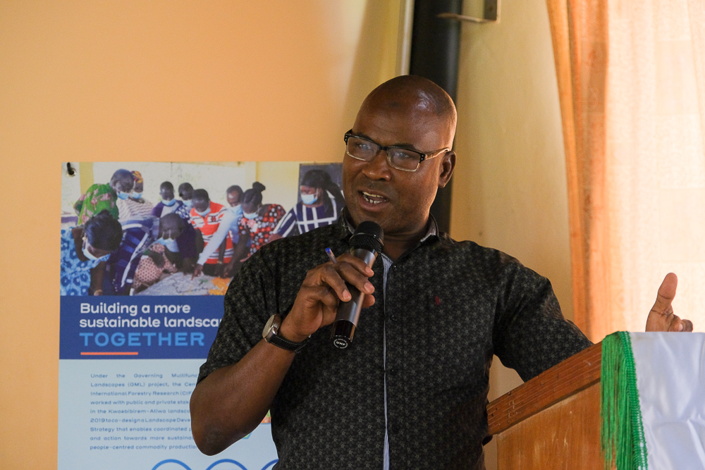
This empathy, he explains, has motivated the varied actors in the landscape to co-develop solutions and the theory of change that is the basis for the respective working groups’ strategies – the action pathways they are now justifiably proud to outline in that warm Kade room. Strategies they will take to potential donors so that, in the future, new development projects can be built around a common vision in which Ghana protects its forests while simultaneously ensuring farmers benefit from a booming agricultural sector.
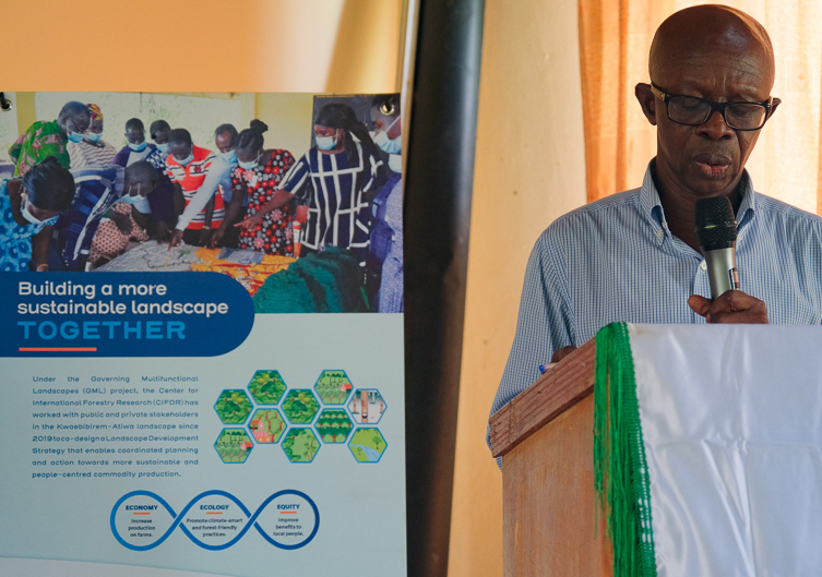
It’s this sustainability that the entire project is based on, in fact. Emily Gallagher, the project’s coordinator, points to the three-part-infinity symbol interweaving the words ‘ECONOMY’, ‘ECOLOGY’ and ‘EQUITY’ on the GML brochures and branding.
“Sustainability is like a three legged stool. And if any of the legs are weak, removed or ignored, the stool cannot stand for very long. So, for us, Economy is about increasing production on the farms for sustainable intensification, Ecology is about doing climate-smart agriculture and forest-friendly practices, and Equity is about improving benefits to local people.”
Emily Gallagher, senior scientist, CIFOR