Let’s talk power!

We invite you to settle in amongst the din of the cicadas and eavesdrop on the conversation as we chat about that 'dirty' word: power.

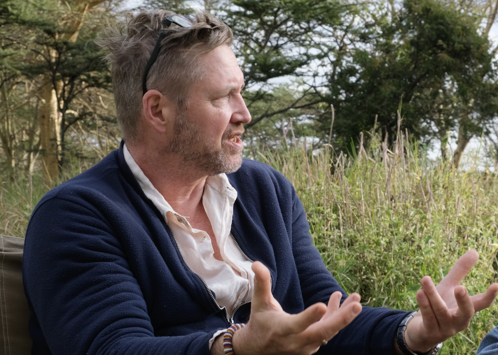
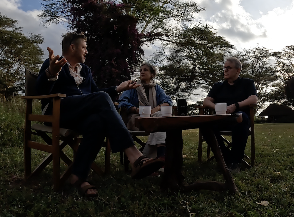
When our Central Component gathered in Northern Kenya recently for a team workshop, there were fascinating conversations to be had. One dawn morning, Valentina Robiglio grabbed a coffee and sat down with her colleagues Kim Geheb and Peter Cronkleton for a discussion on a topic that rears its head all the time but is very rarely addressed directly.

Valentina: So, in these past days we have talked a lot about ILM, landscape management and landscape approaches, and we talked about the six elements that are important for ILM, but we haven’t really touched on an underlying element that we know is very important, that is power. Can you tell us more?

Kim: Landscapes are socially produced. They emerge as a consequence of human activity and human relations. And, of course, within human relations, power is a powerful characteristic of the relationships between people. And so we understand that power finds its way into our understanding of landscapes. In fact, I often suspect that power – and the power relations between stakeholders within a landscape – defines the landscape. It’s a very dominant characteristic of how landscapes look, their condition and how, ultimately, they’re governed and managed.

In fact, I often suspect that power – and the power relations between stakeholders within a landscape – defines the landscape. It’s a very dominant characteristic of how landscapes look, their condition and how, ultimately, they’re governed and managed.

Kim Geheb

Valentina: So, when you think of power in this way, then at the relationship that stakeholders might have through formal and informal institutions, is there a way to regulate or influence power relationships in a landscape in order to achieve the outcome?

Kim: We very rarely like to talk about power. It’s kind of a dirty word and yet it’s such a prominent feature of how we can actually characterize a landscape. I think that a lot of the approaches that we use within the context of ILM are implicitly about managing power relations. For example, we talk about inclusivity. That’s because we recognize that there’s a group of people within the landscape who are not included in the power landscape. So we try to manage that. When we use multi-stakeholder fora, for example, that’s also another way we try to ensure that power is better distributed amongst participants in a landscape. Very often the kinds of capacity building that we provide are intended to empower people”.

We very rarely like to talk about power. It’s kind of a dirty word and yet it’s such a prominent feature of how we can actually characterize a landscape.

Kim Geheb

Peter: I think you made a good point the other day when you were talking about proponents of ILM projects, whether they’re NGOs or other types of actor: they are not conscious of their own power and so they don’t see their ability to convene people, their ability to interact with people at different levels of power within a landscape. They underestimate how important power is because they’re coming in as a powerful actor in a landscape. And so I think it was a good point when we were talking about not being more conscious of the power dynamics, and how an external facilitator plays into that dynamic, but being conscious of themselves as a broker, they’re trying to bridge these gulfs between different people, realizing that when they’re out of the system, things could necessarily snap back into their original form. So, they need to take that into account: how do you change power dynamics and not put people in jeopardy, not create conflicts, not create other types of problems that were unintended at the start.

Kim: Spot on. So we think that when it comes to project formulation, a really critical part is how we understand our intervention. I mean, even the word “intervention” has power connotations, and so our intervention into a landscape has to be accompanied by a critical self-reflection of our power as technical people, as highly educated people, as people who potentially come from other cultures: how that’s going to influence power dynamics within a landscape. That becomes really very, very critical.
Valentina: I was thinking, we are now talking about power in general, but then it’s power to do what? And maybe, based on your experience and on the initiatives that we are looking at in the project, could you give some examples? I mean, what are the key dimensions of power and the key elements of power, and to do what, that count in a landscape when we talk about multi stakeholders?

Kim: I mean there’s a hard line, of course, with power. And so for a lot of our landscapes, we have to deal with violent conflict, which is kind of like the ultimate form of oppressive power. We see this in, for example, our Papua New Guinea landscape. We see this in our Burkina Faso landscape. The landscape that we share between Chad and the Central African Republic also. This is a key aspect of trying to implement ILM in these contexts. So that’s one part of it. But I also think that, when we talk about ILM, we have to really draw attention to is that the first word in ILM is ‘integration,’ which I think is very much a power statement. Often, the highest form of integration is collaboration, but there are powerful actors that prevent collaboration and get in the way of collaboration, and so power then becomes a significant facet that we have to pay attention to if we want integration. That then becomes central to our thinking about how we engage with stakeholders and the governance systems that then emerge out of that collaboration.

The first word of ILM is ‘integration’, and I think that integration is very much a power statement.

Kim Geheb

Peter: It’s also important to think about the sources of power. So, you might have people that are economically powerful. You have political power. There are other kinds of social power that give people rights and obligations within a landscape that influence how people interact. There are formal sources of power and informal sources of power, customary rules, traditions that shape how people are working. But also, in some of the landscapes we’re working in where there are illicit activities, the issue is actually the lack of power of some key stakeholders. Maybe you’re in a frontier area where governments don’t have a strong presence and because of that, for example, cross border drug trafficking influences how people interact in a landscape. It could either be that the government is absent, so these actors are in the landscape, or they’ve been co-opted somehow and that the power comes not just from the economic power of these illicit actors but also the threat of violence. And so, you have to be aware when you’re working in these landscapes that you’re not putting people in jeopardy when you leave because you’ve encouraged them to exert their rights or to stand their ground.

Valentina: I think this is very important because often we have the perception or there is this assumption that when you talk about the state or ‘el estado’ there is power. But actually, in our analysis, often it is the fragility of the state that generates and often the public authors can generate it. So it’s very interesting. And then what is the power that ILM practitioners have? So when they start intervening in a landscape, engaging with stakeholders, of course they come from an institution with a name, but what is the type of power that they have to exert? The type of power they have when they start and the type of power they have to assert in order to build that constructive dynamic. What do you think? How would you describe that problem?
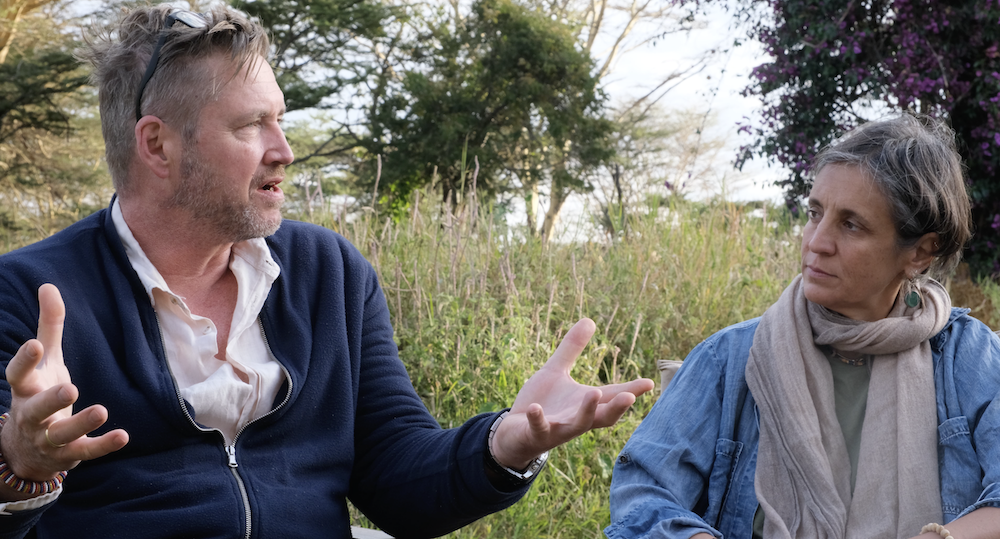
Kim: I think it’s profound, and an intervention has to be self-aware of the power that they bring to a landscape, because it’s basically a power landscape. Fundamentally, when we talk about an ILM success story, it’s because power relations between actors have been reconfigured in positive ways. And so a lot of the power that an intervention can bring in an ILM context is, for example, as Peter mentioned, convening power: the ability to assemble actors within the landscape. I think we often underestimate how difficult collaboration is to achieve, but our ability as an intervention to ‘weave’ collaboration has high potential. For example, if we bring into the equation mediators, or we bring into the equation facilitators – people who have the soft skills to enable or facilitate people to come together – this then becomes very important.


I also think that the power of voice is something that we pay very little attention to. A key characteristic of multi-stakeholder platforms is the emergence of voice. It is that people feel emboldened and sufficiently confident that they can say and speak out about the problems that they confront within the landscapes. Very often the kinds of things that they talk about are significant power imbalances within the landscape. So, hypothetically, let’s say we have a landscape where there’s a very large corporate actor. That immediately changes the power dynamic. It’s a massive presence that comes in, and so an intervention might have the resources to diminish that power, or to draw that actor into the landscape arrangement. To change this, the intervention might be able to take advantage of its own relationships with government for example. This is a very key thing: that a lot of interventions have these networks that local people don’t actually have. We also have to understand that at higher scales there are all kinds of power dynamics; that we might have NGOs that are disempowered vis-a-vis the state or the government. Peter touched on a very good point: that a lot of the contexts where we operate are under-regulated and the presence of the state is very low, so we’ve got a hole. In fact, it can potentially get meaningless to talk about formal power within these contexts. Everything is informal and that creates its own dynamic. As an intervention, we have a phenomenal ability to alter the power dynamic, and figuring out how we can do that means that we have to look squarely at power: how we can characterize it, understanding its dynamics and how it flows across the landscape, how it influences the landscape. Then we can position ourselves in such a way that we can change those dynamics in positive directions.

Peter: And one way we do that is we’re very conscious of the need to come in as neutral actors, or try to. You will hear the term ‘honest broker’: when we come in we’re able to go and talk to the owner of a timber company or visit a rancher and talk to them, whereas an environmental NGO may have difficulty building bridges with those actors because their environmental agenda is seen as a threat to the livelihoods of these other actors.
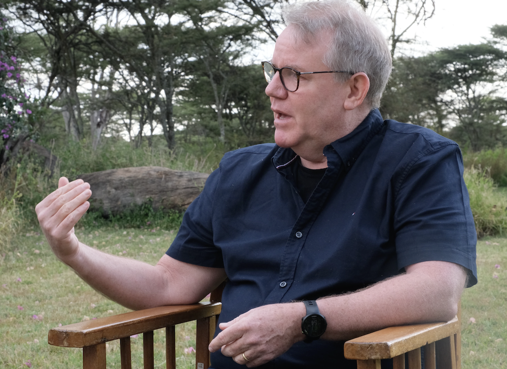
Often, we go in with a conservation agenda ourselves, but we try to put that in the background and come in with a message that in most landscapes there are opportunities to find common ground, common interests. You don’t necessarily have to focus directly on the main conflicts but you can find lots of other dynamics that can be fixed or resolved through negotiation, because people generally on all sides have interests in things like clean water, people like to avoid pollution where they live, obviously people want to avoid threats of violence… So there are opportunities.

Peter Conkleton

Valentina: I was going to ask about the power of an ILM practitioner. It is very much related to the capacity of the practitioner: the skill to convene, to build trust, power that comes from accountability and also the capacity to identify this ‘neutral space’, to be perceived as an owner. I think that’s very important, but then there might be a challenge when there are issues related to conflict, conservation, development… Very often we have very strong conservation institutions that come in managing the landscape, and maybe they already have a legacy and they have an agenda that’s very clear, so does that reduce their convening power as an ILM practitioner? Or what do they have to do in order to be perceived as more neutral and more able to really work across the different dimensions?

Very often we have very strong conservation institutions that come in managing the landscape, and maybe they already have a legacy and they have an agenda that’s very clear, so does that reduce their convening power as an ILM practitioner? Or what do they have to do in order to be perceived as more neutral and more able to really work across the different dimensions?

Valentina Robiglio

Peter: You sometimes hear people talk about fortress conservation: where it’s very top down, very much a command and control approach to conservation. And many environmental NGOs and governments have confronted the issue that they create enemies among local actors. The people that they need to convince that conservation, certain types of biodiversity or conservation of different landscapes is important, are seen as a threat by the government and those people see the technicians or employees of an NGO as threats. So you’ve seen a shift over recent decades to strategies like co-management where environmentalists try to identify sustainable livelihood options or alternatives that local people could still make a living, still feed their families, still have opportunities and not necessarily need to extract resources in an endangered forest or convert mangroves to other uses. Whatever the landscape is, it’s a challenge. It’s something that we’re still working with, but if there’s a general consensus that local people aren’t deriving benefits from biodiversity, it’s difficult to convince them without some other type of incentive that they should be collaborating.

Valentina: And I now have a question. If we think about that power, you mentioned people, institutions. We can think of power at the family level in men, women, youth. Can you make some examples of what would be the entry points to move all these levers in a nested way in the landscape, starting maybe from family and participation. How do you activate?

Kim: So in a sense, how do we locate? And I think that you touch on a really good point here, that the power is relative. You can’t have somebody all by themselves and then they’re powerful. It’s power over, power with, or power under. And so we get that immediately when two people or groups come together, the power surges – possibly in positive directions. Remember, power doesn’t necessarily have to be a bad thing.

Valentina: That’s why you want to empower.
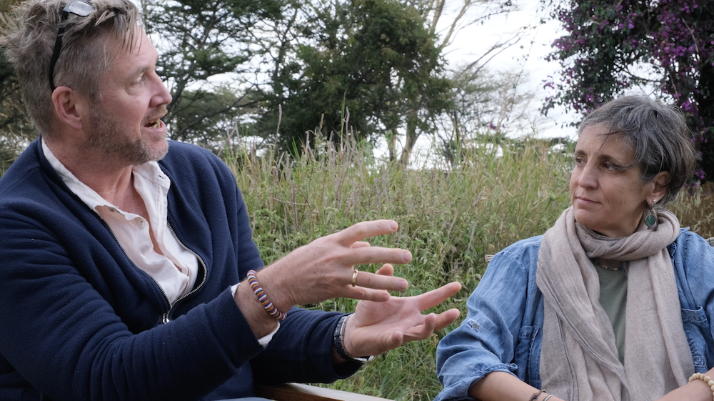
Kim: Exactly, because characterizing the landscape in power terms then becomes extremely relevant, alright. And what I often find very exciting is that other methodologies, or indeed emerging ones, look at how we are able to characterize power within the landscape. I don’t want to get technical, but one of the methods that we’ve been playing around with is this technique called Net-mapping. It’s a stakeholder approach, so we identify who the stakeholders are, but really the key thing is to be able to characterize the relationships between the stakeholders. I often say that it’s the in-betweenness of things that is relevant. It’s not the individual stakeholders by themselves. Of course, we like them, they’re good people, but it’s the relationships that they share with others that is of consequence to the landscape.

Valentina: So, you focus on the arrows?

Kim: Yes.

Valentina: Okay.

Kim: And characterize that as power under, power over or power under. And then we can begin thinking about strategies with which to change those relationships. I also think that what becomes really key here is that when we characterize those relationships it allows us to see where our risks lie within the landscape. I mean, if you’ve got a single completely unaccountable actor in the landscape, then we have to think about how we are going to address this presence within our system. And that then becomes very important to the overall success of a project.

And I just wanted to touch on a final thing here: what has always been very surprising to me is that, when we do these Net-maps with individual projects, the projects very rarely locate themselves in the map, and this I find very interesting. I think maybe it’s because they feel modest and they don’t want to suggest that they have an unnatural presence within the landscape. But, equally, in the absence of them being located in the landscape, we don’t get a sense of what that project needs to be doing in terms of changing those different relationships between partners. Then, equally, what does the project need to do for itself in order to be successful? Which relationships does it need? Which relationships does it have to manage? Which relationships does it want to avoid? This is also a key thing.

And then we can begin thinking about strategies with which to change those relationships. I also think that what becomes really key here is that when we characterize those relationships it allows us to see where our risks lie within the landscape. I mean, if you’ve got a single completely unaccountable actor in the landscape, then we have to think about how we are going to address this presence within our system. And that then becomes very important to the overall success of a project

Kim Geheb

Valentina: I think that happens because practitioners come into a landscape and exercises like stakeholder mapping, Net-mapping, are considered like “let’s state a baseline.” So when you do a baseline, you want to be neutral. It has to be the picture of your landscape, so you don’t put yourself in the picture.

Kim: Because you’re painting, right?

Valentina: Right, absolutely. So I think that’s something that’s an important message. One thing that for me is very important is how do we understand because there are actors… We recently made an assessment of the gender work we did in Peru, where there are women who basically do not actively participate and don’t have much agency. So you, as an external actor, realize this huge gender gap but they don’t seem to be really aware of it, to the point that they’d say “no, but I don’t want to. I’m satisfied with my level of agency.” How do you intervene in a way that people might realize that they actually need to be empowered so that there has to be something?

Peter: We’ve been doing work on gender transformative approaches to conservation, to land tenure reform, different types of projects. And one of the mechanisms that we’ve found is very successful are simply exchanges where women can share their experiences, hear from others’ opportunities, particularly where women can interact with other women that have become leaders of organizations or enterprises. And they’ve reported to us that after going through these exchanges where they identify common ground, where they identify similar conflicts or challenges that they face and, hearing the experiences of how others have overcome those challenges, the women come out of those exchanges reporting greater confidence. More importantly, realizing that they already play those roles often in their communities, often behind closed doors. You know that women in some societies and some communities may not stand up publicly in a meeting and express their opinion, but they make sure their husband’s opinion expressed in public reflects their interests as well. But, when they start learning how other women have used strategies or come up with ways to start enterprises or organizations, those women start reflecting or talking to their neighbours, meeting with their daughters and talking about how they could take advantage of opportunities that they face, or that they could stake out positions for themselves within their community, within their association, that’s different. And one of the key aspects of gender transformative approaches is that you can’t change a power dynamic in a household or in a society without the involvement of men and women, so creating a situation where women might be empowered entails convincing men and boys that having women play a more active role in an enterprise or taking charge of an organization is in everyone’s benefit.
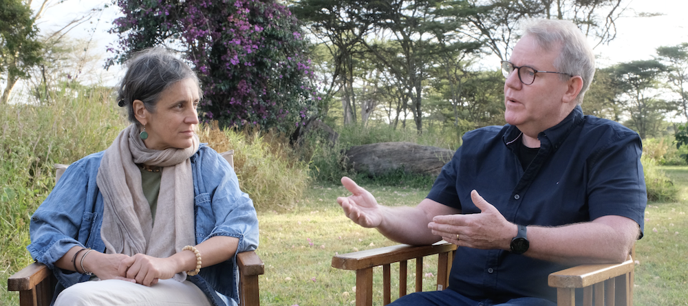
Valentina: So that, I think, is important because he’s also convincing the others that the actor should have more power. That reminds me of when we played that game during the Global Summit on the oil palm. And I think that that was a useful approach to make groups understand the different forms of power and the interplay of it. What are things gained or what are the other approaches that can be used to make people realize? We have Net-mapping; we have games to realize what the power dynamics are, how they interplay over time, and how do you make people realize that they can be changed? What can ILM practitioners do?

Kim: When Peter was talking just now, one of the things that occurred to me, of course, is that there are many different species of power. And how that then articulates itself is often something that we don’t necessarily realize when we walk into a situation. With our training and our experience, we’re kind of coached to look for particular types of power without necessarily observing other types.

Valentina: The dynamic is in the interplay.

Kim: Exactly. So, of course, we can’t make anybody do anything. That’s not our role ever, but it’s interesting to me that when we talk about the creation of opportunity, it’s possible to couch that in power terms: like creating new spaces where people feel that they can exercise their power. They can then move into that opportunity if they choose to do so. Multi-stakeholder fora can be these spaces, and I think we can then use these as a way of supporting people to explore what power they do have and what opportunities the projects are then bringing that may empower them in ways that then yield landscape level outcomes.

We’re now sitting in a great example of an immense power dynamic here in Northern Kenya. This is the Lewa Wildlife Conservancy. As a conservancy we can understand the power of this place in terms of, for example, land tenure. Land tenure is something that people in CIFOR-ICRAF pay a lot of attention to: the power of limiting the ability of people to access these resources here. And as we go out into this landscape, we focus very much on the wild animals within it, but the power is in the grass. It is the fodder that is out there. It is grass that lies at the centre of tensions between the large, Northern Kenyan, wildlife conservancies and the nomads and livestock keepers outside the conservancies. When tensions between them flare, it is about grass. So then, in our awareness of that relation, how can we ameliorate it? Our hosts here, the Northern Rangelands Trust, they recognize this and a big part of their interventions together with communities in this landscape is specifically looking at pasture. How can we improve pasture? How can we make sure that pasture is available during the dry season? This is an area very affected by climate change, so it’s difficult to predict what the climate or weather is going to be over the course of the year. How, under those circumstances, can we make sure that there is adequate fodder for the millions of cattle and goats that are out there, and which then support everybody’s livelihoods? These kinds of questions have everything to do with power.How, under those circumstances, can we make sure that there is adequate fodder for the millions of cattle and goats that are out there, and which then support everybody’s livelihoods? That then becomes an opportunity, so we need to begin thinking about these sorts of managerial interventions as power opportunities.

Valentina: I think you just mentioned an important thing. It’s not strictly related to power, but you are kind of saying that, in a landscape where, for example, you have all these objectives of conservation and the issue is conflicts and friction about grass, the solution can be outside. So you might say that your landscape is this, and the easiest thing is to define a system in relation to what we see here, but actually the solution is intervening on land that is outside the geographical boundaries of this area. And that’s really system thinking. I intervene in other areas, generate resources outside so that people reduce pressure on this. And I think that’s very important to understand, not only in terms of power dynamics or its systems.

Kim: But it’s also accountable. I mean an organization like NRT has a very large number of constituents spread all the way across Northern Kenya, which includes other wildlife conservancies as well as nomadic communities. So, here there’s a dynamic conversation around how to deal with this political grass: some want to allow neighbouring communities onto the conservancy provided they follow guidelines. They don’t want, of course, the land to be completely denuded of its vegetation cover. Other would rather only allow community cattle onto their land only when circumstances are severe – like during drought. Others still would rather not allow nomads onto their land ever.
This text has been edited for clarity and differs slightly from the original recording.

Free multistakeholder collaboration course

This free course from Supporting Partnerships and Networks, is aimed at anyone who is involved in working within multistakeholder fora, where solutions are sought for complex sustainability problems.

Net-maps and vision in PNG

Stakeholder identification and development of a common vision: on a learning mission to Papua New Guinea, our Central Component Coordinator highlights two of the six critical dimensions of Integrated Landscape Management.

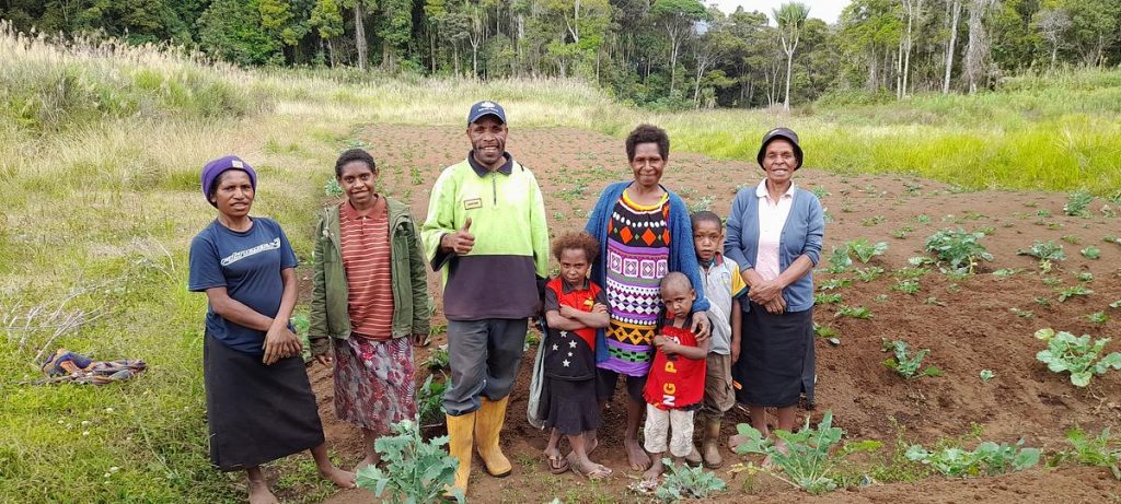
The Strengthening Integrated Sustainable Landscape Management (SISLaM) project in Papua New Guinea, lead by the UNDP’s Sam Moko, recently hosted our programme’s Central Component Coordinator, Kim Geheb, on a learning visit to see how the six critical dimensions of ILM could be further implemented.

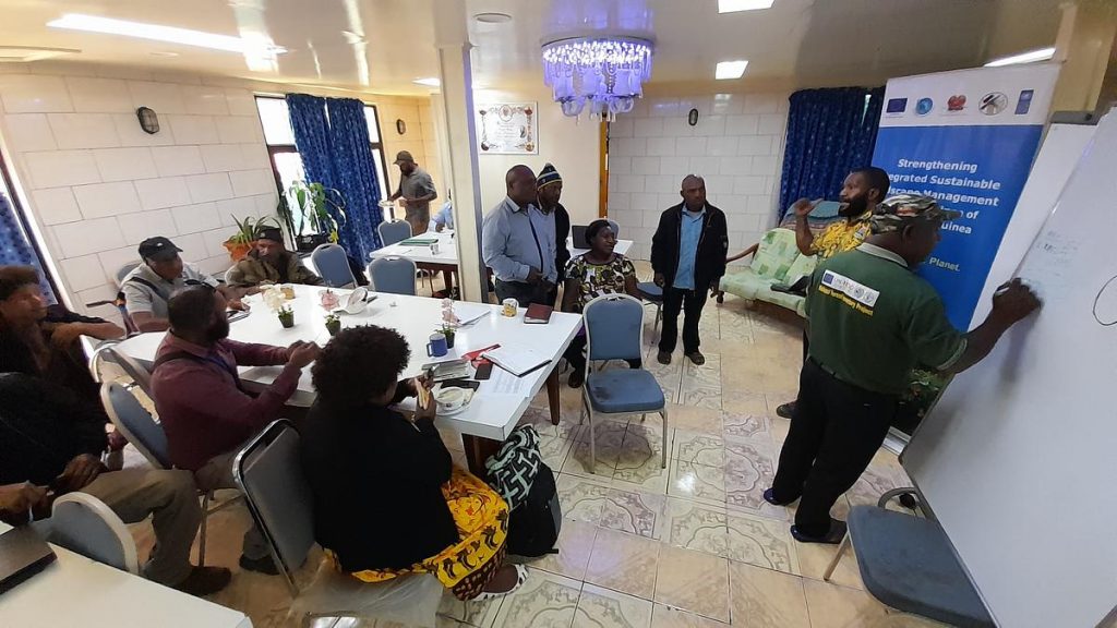
As part of this process, the SISLaM team organised a workshop, inviting more than 30 stakeholders to participate. Kim introduced ‘Net-Mapping’, which was employed to identify the stakeholders’ relevance to the project, the relationships between them, and the influence they can marshal to enable the project to achieve its vision.

Net-Mapping in action at the workshop.

This process drew upon the SISLaM project’s goals to establish a defined project vision:

Because of the project, Enga Province’s sustainable and inclusive economic development was increased when the impacts of climate change were mitigated, and its people adapted; the food and nutrition security of its people was strengthened; and its biodiversity, land and forests were conserved, sustainably used and restored.

SISLaM Project vision.

Because of the large number of stakeholders at the workshop, participants were divided into two groups. They started by identifying who they thought was the most influential stakeholder at present and awarded that stakeholder 10 points. Other stakeholders were then identified and scored relative to the first stakeholder group. When they had completed this exercise, they then assessed scores for stakeholders in the future, thinking about whether they believed scores should increase or decrease in order for the project to achieve its vision. The result from one of the teams is shown below.

Kim explained that “there are many institutions with relatively high contemporary scores. In other words, SISLaM sees multiple actors as currently very important to fulfilling the project’s vision at present. This speaks to the importance of creating a platform where these actors can be convened, where dialogue can happen, and integration occur. There are some actors that have lower contemporary scores than future desired scores. This suggests that the project needs these agencies to increase their influence if its vision is to be achieved. It also suggests that the project needs to work out strategies for how the influence of these agencies can be increased.”

The Net-Map also displayed ‘risk communities’ which are those communities, such as landowners, who have been in conflict with each other. Enga Province is among several Papua New Guinean provinces which have suffered from communal violence since the national elections in 2022. While the project regarded their present influence to be medium (receiving a score of five), it would prefer this influence to be reduced to zero.

“It seems that traditional institutions remain very powerful – and therefore it makes sense to explore how the project can capitalise on these,” was Kim’s observation.


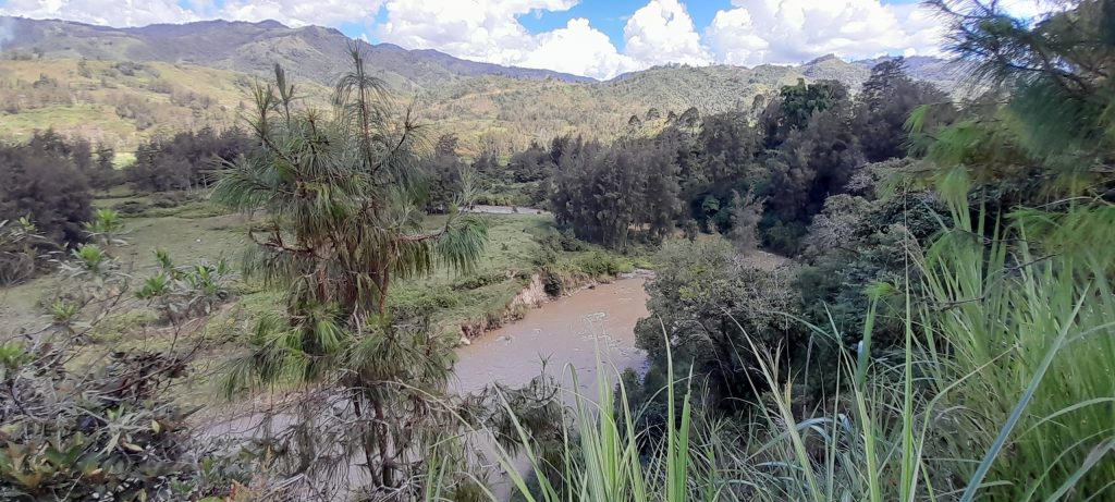
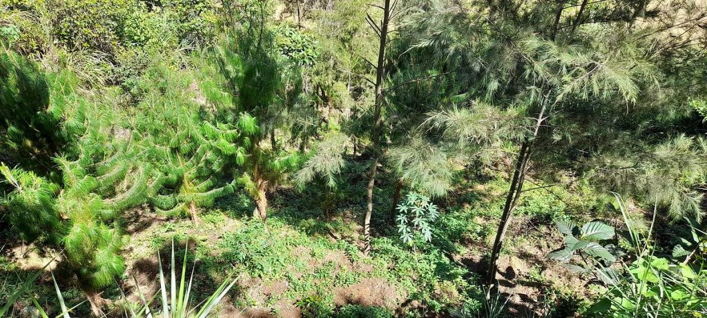
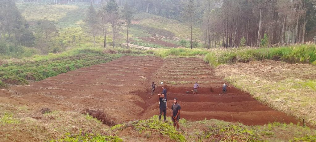
SISLaM also took Kim to visit three recipients of the project’s low-value grants. The first of these was a reforestation initiative being implemented by the Yakam Resort Cooperative Society. Emmanual Kilanda, the chairman of the cooperative, showed the team the work that is being done to reforest unstable slopes. As these slopes are extremely steep, planting trees on them has been a significant challenge, yet the cooperative has managed to plant 12,572 pine and kamare trees over 45 hectares since receiving the grant.

The SISLaM project includes components to help Engan farmers improve their value chain access and develop sustainable revenue streams. To illustrate this, the team visited the Wabag Coffee Growers Cooperative, where the initiative works to provide farmers with coffee seedlings. Kandes Nyia, the chairman of the cooperative, took the group to see the cooperative’s coffee nurseries and two farms. The grant has resulted in significant production increases, but the farmers struggle with an overabundance of coffee for their relatively localised markets. This situation highlights the need for Engan communities to extend and strengthen their value chains as they have a high-quality product and are located close to transport links.


Kandes Nyia, the chairman of the Wabag Coffee Growers’ Cooperative, explains his work from inside a coffee store.

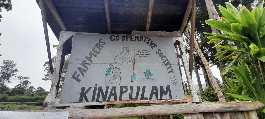
Finally, the team journeyed to Laiagam District, where they were given an exuberant welcome by the Kinapulam Farmers’ Cooperative Society, which is working on producing sweet and English potato seed for local farmers. They visited several farms to understand the work of the cooperative and the results being achieved with the help of the grant. As in Wabag district, the low-value grant has resulted in significant production increases, however, ensuring the produce gets to market remains a challenge for these communities.


At the end of the visit, Kim reflected he was “particularly impressed by the implementation team.”

“Sam Moko provides very impressive leadership in a very challenging operating context, and I can see the strength of the team from its dynamic. The team is well selected and has a deep knowledge of Enga Province and its people. From what I have seen of the low-value grants, these have created real opportunities to communities. Of course, attention will need to be given to how recipient communities can market their outputs – and SISLaM can play a key role in convening this discussion so that communities can identify their own solutions and ensure this project’s long-term sustainability”.


The welcome from the Kinapulam community. Here, the leader of Ward 2 delivers his welcome speech.

This post is based on an article that was first published in UNDP’s July 2023 newsletter.

Newsletter #5 | August 2023

Read the fifth edition of our newsletter

Welcome to our Latin American and Caribbean special edition newsletter, where we delve into the transformative power of Integrated Landscape Management (ILM) as showcased in our programme’s 7 projects across 16 countries in Latin America and the Caribbean. 

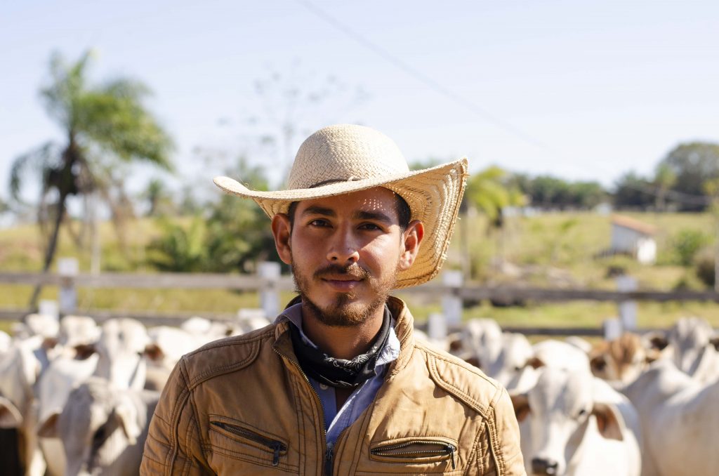
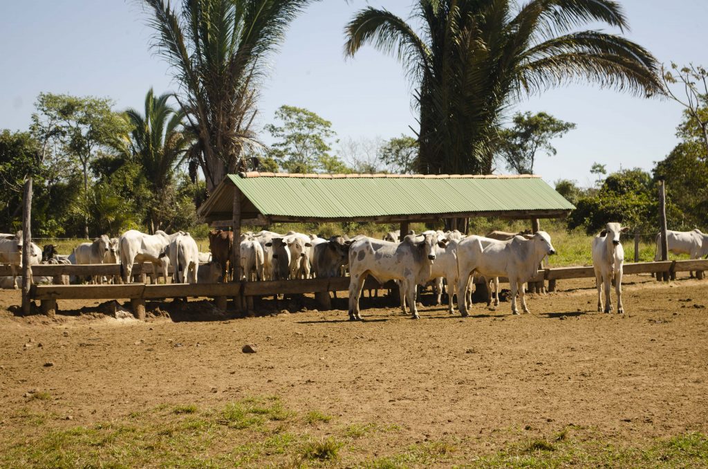
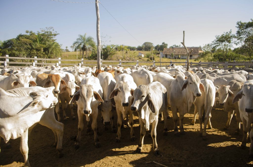
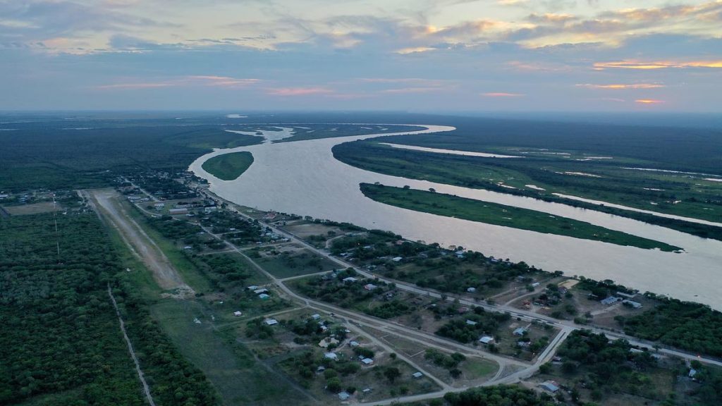
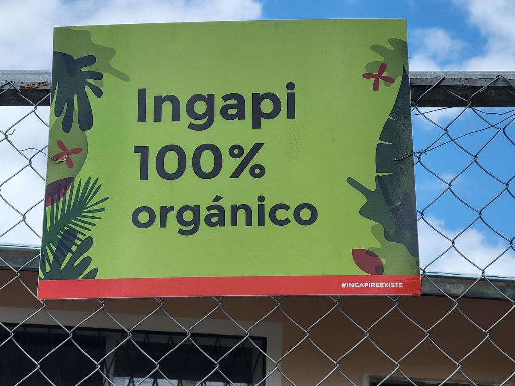
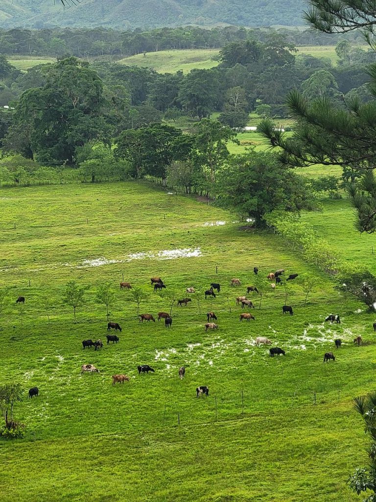
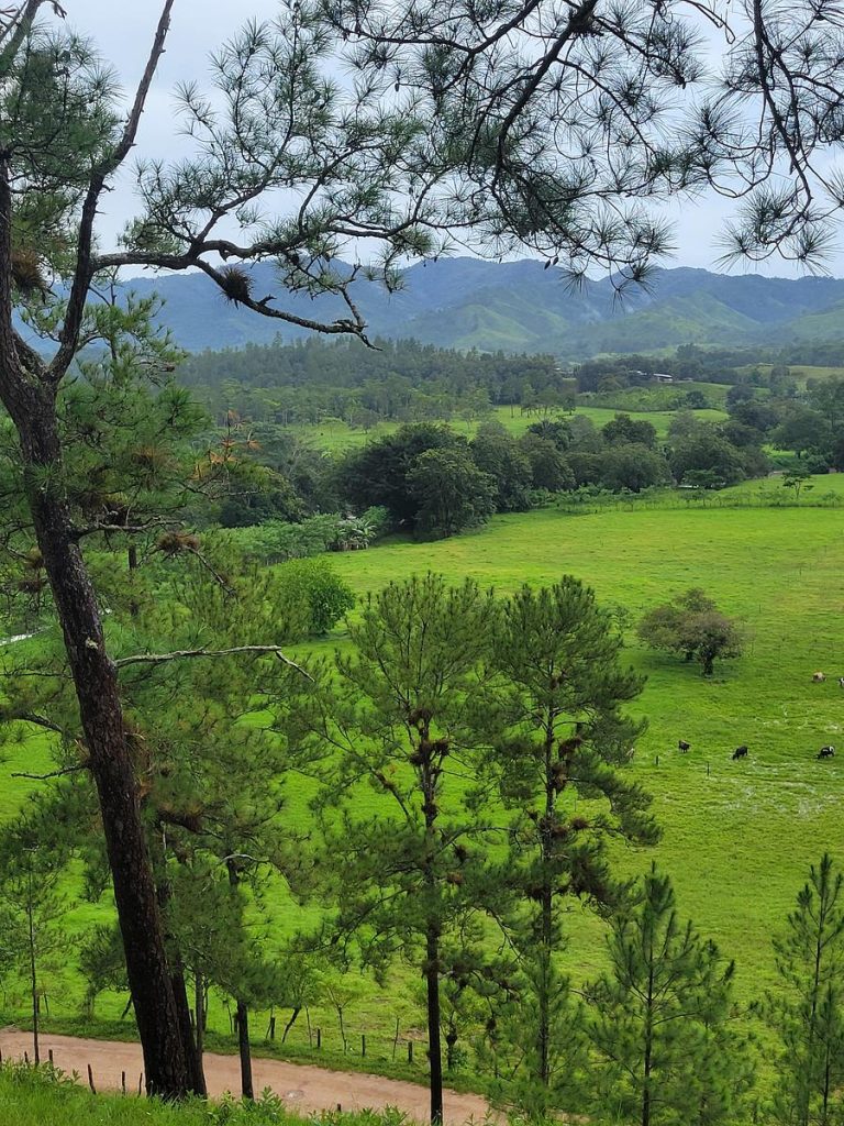
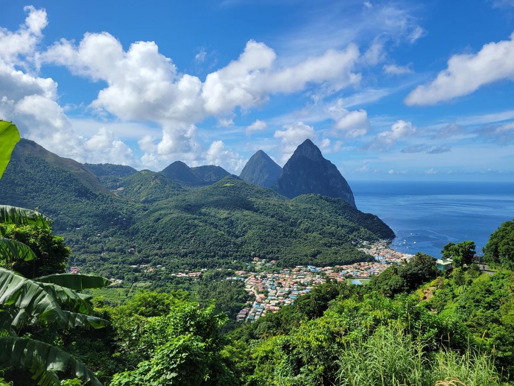
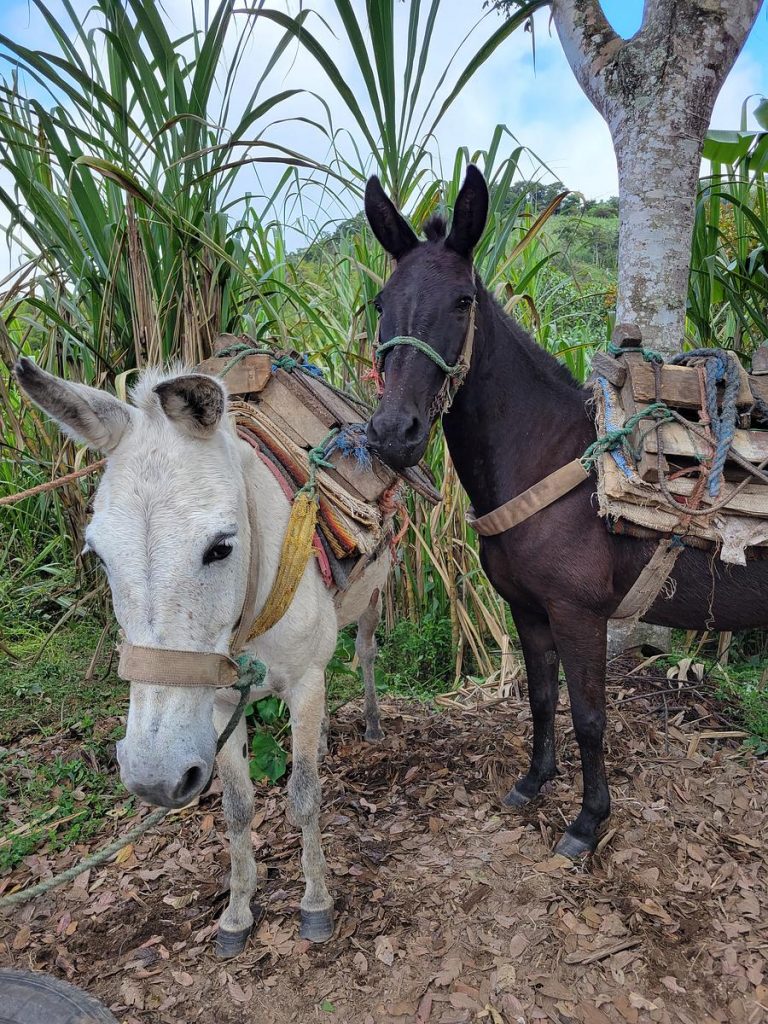
Clockwise from top right: Les Pitons and town of Soufriere in Saint Lucia, OECS. Aerial view of Bahía Negra town, on the banks of the Paraguay River. Organic panela production and donkeys in Ecuador. Cattle rancher in San Ignacio de Velasco in Bolivia. Cattle ranch  in Honduras. Signage in Ecuador. Photos by Peter Cronkleton and Natalia Cisneros/CIFOR-ICRAF. 

View or download more photos and videos from our image archive here.


REFLECTIONS FROM THE FIELD

ILM in LAC

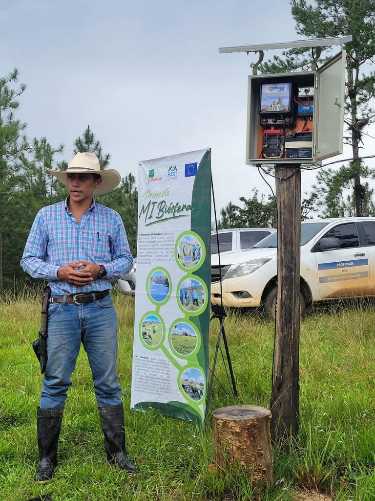
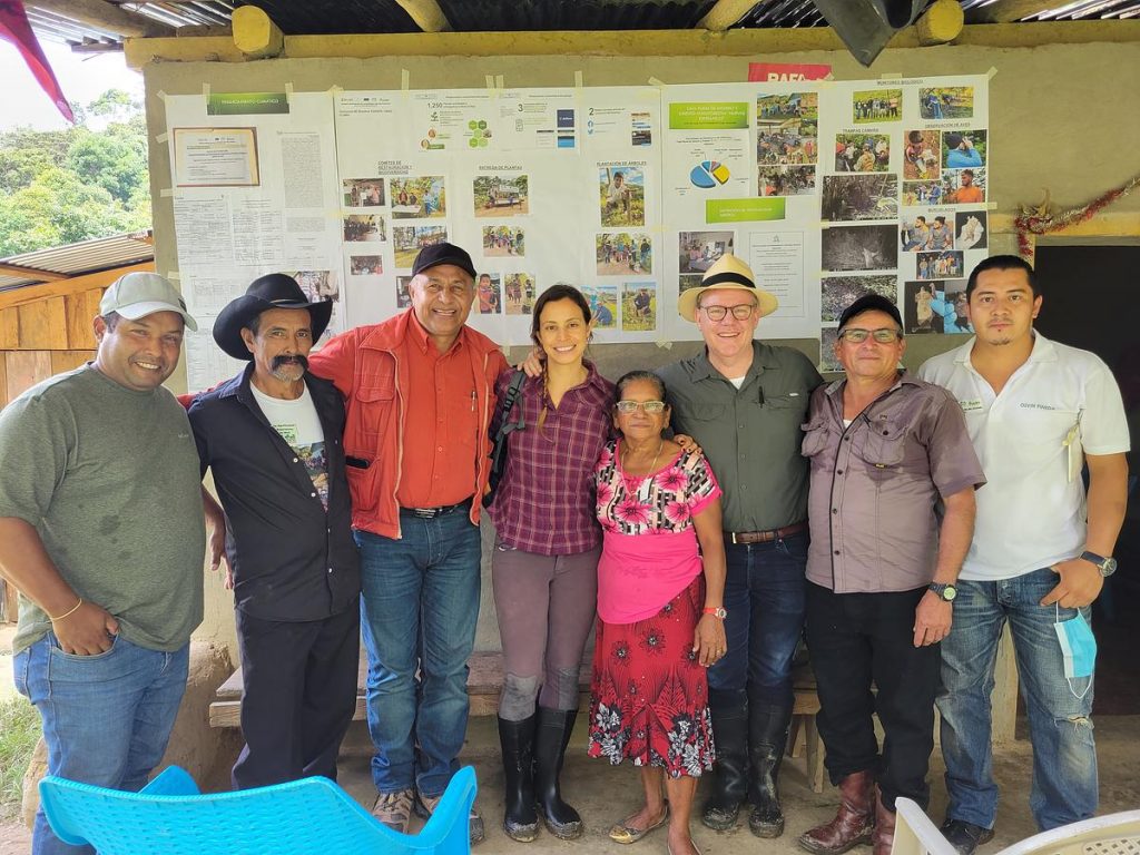
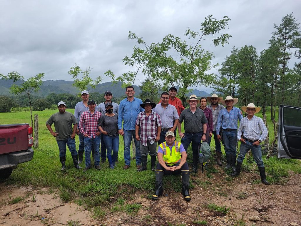
The Central Component’s Natalia Cisneros meets with Mi Biósfera team members during our learning visit to Honduras. Photo by Peter Cronkleton/CIFOR-ICRAF 

We, the Central Component, see six critical elements in the ILM process. To see them in action, you need look no further than our programme’s remarkable Latin American and Caribbean projects, which have embraced integrated landscape approaches to revolutionize land use practices, conserve biodiversity and foster sustainable development.


KNOWLEDGE

Can ILM contribute to sustainable cattle ranching?  And vice versa?

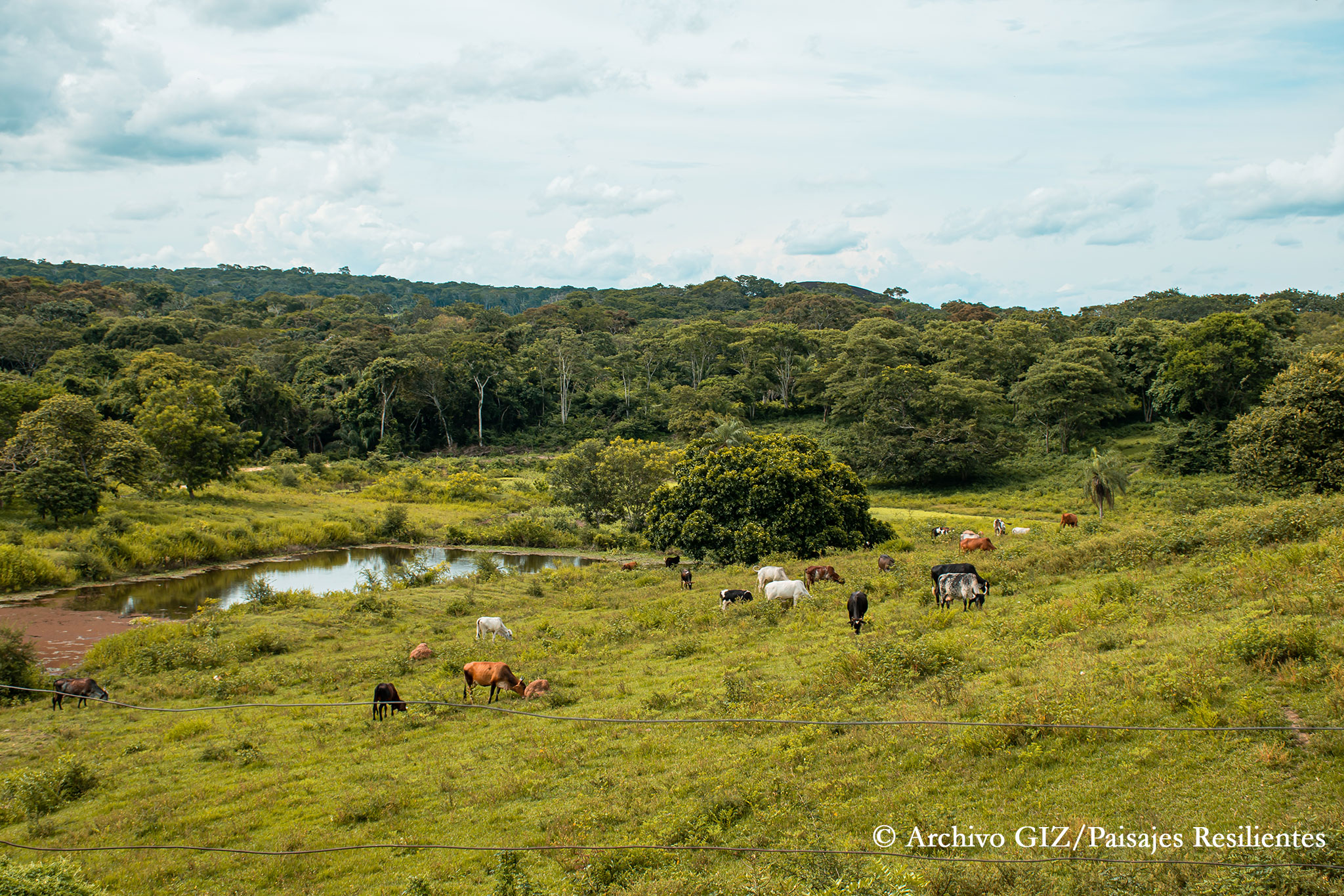
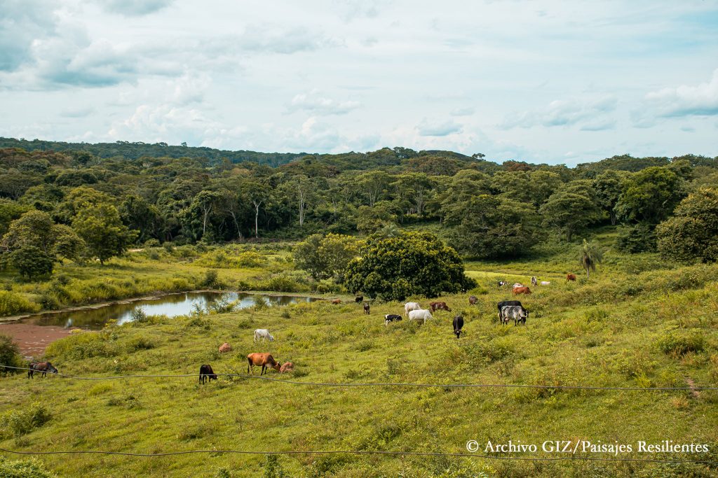
Chiquitanía landscape of Bolivia. Image by GIZ/Paisajes Resilientes 

In recent years, strategies to promote sustainable alternatives to conventional ranching have emerged, aiming to mitigate and adapt to the effects of climate change, reduce deforestation, conserve vulnerable ecosystems, and mitigate impacts from cattle production. Achieving these objectives often involves endorsing enhanced practices, implementing robust monitoring systems, and fostering collaboration among various stakeholders. ILM could enable pathways to achieving impact at scale.


Landscape Learning Session #2: Criteria, Indicators & Tools of ILM

Watch the webinar

Despite its application over the past few decades in various contexts to harmonize conflicting land management goals such as development and conservation, there remains no systematic framework to guide the implementation, monitoring, and evaluation of ILM projects. 

We set out to fix that, conducting a global review to propose such a framework. This learning event presented the results of this review and delved into two examples of monitoring tools applied in ILM projects. 


RESOURCES

MSF fatigue? How to design for context, inclusion and effectiveness

A tale of two Brazilian states leads us to really useful tips to design meaningful, inclusive platforms for transformation. In the 1990s and early 2000s – in response to calls for participatory land-use planning and concerns about deforestation – Brazil’s state governments began to carry out Ecological-Economic Zoning processes to  collectively lay out land-use plans that were inclusive and sustainable. These processes were mandated to be developed and implemented using multi-stakeholder participatory mechanisms. 

Two states ended up with very different results. Explore the lessons to be learned through this curation of research and interviews, and download at-a-glance factsheets with tips on how to how to manage power, politics and participation in your own multi-stakeholder processes. 

We often take too much for granted in MSPs. Some considerations are simple – like changing where the platform is held, or adjusting seating arrangements – and some require deeper strategic thinking. Our research has unearthed a host of practical steps that convenors can take to help empower marginalised stakeholders and create lasting impact. 
 Anne Larson on CIFOR-ICRAF’s info sheets and how-to guides

Key ILM elements at work in our Latin American and Caribbean projects

We keep saying it; they’re showing it.
Chiquitanía landscape of Bolivia. Image by GIZ/Paisajes Resilientes
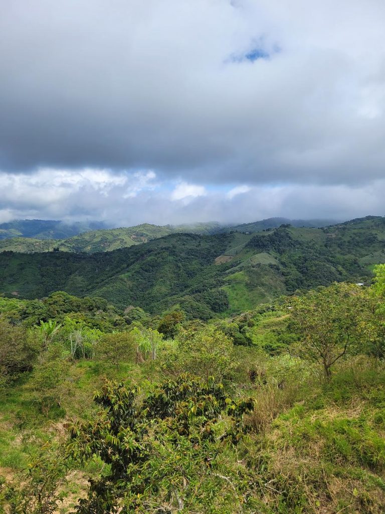
Chiquitanía landscape of Bolivia.

Our experience suggests that Integrated Landscape Management is a process for managing the competing demands on land through the implementation of adaptive and integrated management systems.

When combined with well-planned and executed technical interventions, ILM enables landscape multi-functionality to be managed, and its benefits to society and the environment to be captured and distributed.

Landscapes For Our Future Central Component

We see six critical elements in the Integrated Landscape Management (ILM) process. To see them in action, you need look no further than our programme’s remarkable Latin American and Caribbean projects, which have embraced the ILM approach to revolutionize land use practices, conserve biodiversity and foster sustainable development.

It is important that we understand what it is that we are integrating and managing when it comes to ILM. From our perspective, it is the people who make claims on the landscape that matter. Hence why the first two of our ILM ingredients focus on stakeholders. We see these organized behind a common vision, which they seek to reach through adaptive management and the right mix of tools. Finally, because the process works well, it is institutionalized


Kim Geheb, Coordinator, Central Component of the LFF

🇧🇴 Bolivia: Paisajes Resilientes

About the project

The department of Santa Cruz is part of the Amazon basin and comprises a large part of Bolivia’s lowland forests. It is home to numerous Indigenous communities and smallholder farmers who are highly vulnerable to poverty and climate-related risks. The department contains 78% of Bolivia’s biodiversity and supports 70% of the country’s agricultural production.

The Paisajes Resilientes en la Chiquitanía (Resilient Landscapes in the Chiquitanía) project, managed and implemented by GIZ, has made promising strides towards ILM to address the impacts of climate change in the the world’s largest preserved tropical dry forest and on the livelihoods of populations in nearby watersheds. It focuses on promoting water and productive security while strengthening governance structures and sustainable socio-economic activities.

Key ILM elements

Stakeholder identification

A key strength of the Paisajes Resilientes project lies in its robust stakeholder mapping exercises. The project utilizes the comprehensive Capacity Works tool to identify and engage relevant stakeholders in the landscape. This tool enables the project to assess the capacities and roles of different stakeholders, ensuring their active involvement and meaningful participation in decision-making processes. By mapping stakeholders and understanding their capacities, the project fosters stronger collaboration, builds local ownership, and enhances the overall effectiveness and sustainability of its interventions.

Multi-stakeholder Fora (MSF)

There is no MSF covering the entire landscape or functioning at the scale of the two watersheds making up the project area. However, there are several platforms that provide incipient foundations for MSFs within subunits in the project area. In each sub-watershed, the Paisajes Resilientes team has formed or reactivated Management Committees (Comités de Gestión), which are platforms composed primarily of representatives from communities participating in their pilot activities but also draw in other government actors, like municipal agencies, the municipal council, and the sub-gobernación (provincial government). Each management committee functions autonomously without coordination with the others.

In the Alto Paraguá sub-watershed, the Paisajes Resilientes team supported the creation of the MSF, strengthening the Asamblea Distrito (8th District Assembly), who leads it. In Bajo Paraguá and Tarvo, Paisajes Resilientes supported the strengthening of existing MSFs; and in the Alta sub-watershed, Paisajes Resilientes was behind the MSF’s reactivation. Community representatives are also involved the Asamblea Districto 8, which brings together cabildo representatives from communities in the sub-watershed of Alto-Paraguá.

The management committees have statutes and regulations designed specifically for each sub-watershed. In most cases, the Management Committees meet monthly, and once in a while the RLC team participates, to present advances related to their project.

These MSFs may pave the way for inclusive decision-making and potential collaboration, amplifying the project’s impact.

Common Vision

The Paisajes Resilientes team has organized a series of workshops to build collaboration among stakeholders around a common agenda. In signing a collaborative agreement with the Santa Cruz Departmental government, the project facilitated an inter-sectorial meeting with representatives of different agencies in the departmental government to dialogue needs and urgent issues to tackle. This was followed by a workshop with private sector and finance sector stakeholders.

Iterative and Adaptive Management

The Paisajes Resilientes project exhibits a strong commitment to reflection, learning and adaptation throughout its implementation. Recognizing the complexity and uncertainties associated with managing natural resources and ecosystems, the project continually assesses the effectiveness of its strategies, adapts to changing circumstances and integrates new knowledge and community perspectives into decision-making processes. This commitment is evident in the selection and design of pilot projects, which have been adjusted based on realities encountered in the field. For example, the exchanges of indigenous female leaders, initially planned as a single event, were expanded to multiple meetings due to their positive response. Similarly, the inclusion of apiculture and environmental education in the communication program, which were not initially defined in the project’s design, reflects the project’s adaptive planning and responsiveness.

Furthermore, the Paisajes Resilientes project places a strong emphasis on knowledge sharing and learning. It facilitates the exchange of experiences, best practices, and lessons learned among different stakeholders, including local communities, government agencies, and partner organizations. This collaborative learning approach enables the project to leverage collective knowledge, build on successful approaches, and adapt strategies based on shared experiences. By fostering a culture of learning and continuous improvement, the project strengthens its capacity to address complex challenges, promote innovation, and achieve long-term sustainability in the landscapes it works in.
Institutionalization

The project also excels in cultivating partnerships with the local and regional governmental actors responsible for governing the landscape. The Santa Cruz Departmental Assembly, a legislative body approving departmental policies, has closely aligned itself with the project’s objectives, providing a solid foundation for transformative change. Similarly, the Municipal Government of San Ignacio de Velasco, with its mandate to provide essential services and public works, has emerged as a robust ally, fostering positive local dynamics. These partnerships enhance the project’s potential for impact, engaging stakeholders who possess the power to effect change in the landscape.

Learn more from this project

A notable strength of the Paisajes Resilientes project is its adoption of a nested approach to landscape management. Recognizing the complexity and scale of the landscapes involved, the project divides the areas into sub-watershed units. This approach allows for a more focused and targeted implementation of interventions within specific ecological units. By addressing the unique characteristics and challenges of each sub-watershed, the project team tailors its strategies and actions to the specific needs and opportunities of different areas, thereby enhancing the effectiveness and impact of its interventions. Furthermore, the establishment of the sub-watersheds’ Management Committees, serving as a multi-stakeholder platform for diverse stakeholders to convene — even those who seldom interact in the landscape — paves the way for inclusive decision-making and potential collaboration, amplifying the project’s impact.


🇧🇷 🇵🇾 Brazil/Paraguay: CERES

Aerial view of Bahía Negra town, on the banks of the Paraguay River. Photo by WWF Paraguay.

About this project

One standout project in Latin America and the Caribbean is the Cerrado Resiliente (Resilient Cerrado) project, CERES. Led by WWF Brazil, WWF Paraguay, and the Institute for the Preservation and Promotion of Indigenous Peoples, CERES is a holistic project that focuses on the intricate interconnections between agriculture, natural resources, and rural livelihoods. 

The Cerrado Biome is the world’s most biodiverse savanna, covering more than 2 million km2 in Brazil and Paraguay. It is home to 83 different Indigenous groups and communities, who have received varying degrees of recognition and land tenure. The Cerrado provides crucial ecosystem services at national, regional and global scales, supplying 70% of the country’s agricultural output and 44% of its exports. 

Key ILM elements

Multi-stakeholder Fora (MSF)

By bringing together diverse stakeholders, including farmers, researchers, and policymakers, CERES creates a collaborative platform for knowledge exchange and action. 

CERES also recognizes the significance of promoting sustainable value chains in responsible land use. Through its collaboration with the Tamo de Olho initiative, CERES further enhances its impact. Tamo de Olho (meaning “We’re Watching” in Portuguese) is a community-driven monitoring program that engages local communities in the collection and analysis of data related to land use, deforestation, and conservation. By involving communities as active participants in monitoring efforts, CERES fosters a sense of ownership and strengthens local knowledge systems.

WWF Paraguay, responsible for implementing the CERES project in the Alto Paraguay landscape, has successfully engaged small, medium, and large ranches through a multistakeholder forum that highlights shared interests among stakeholders. WWF Paraguay’s efforts have resulted in significant collaboration among diverse stakeholder groups, focusing on the Bahía Negra district’s land use management plan, known as POUT (Plan De Ordenamiento Urbano y Territorial).

The POUT roundtable was established as an MSF to support the POUT process. It facilitated dialogues and feedback from a wide variety of government, private sector, producer associations, indigenous communities and NGOs in the landscape. Their participation was driven by the desire to have their interests represented in the final land use planning process. Valentina Bedoya, WWF Paraguay’s Sustainable Landscapes Officer, emphasizes that the POUT Roundtable, initially established with a specific goal, has evolved into an entry point for multi-stakeholder dialogue that was previously lacking in the landscape.

The POUT Roundtable has proven to be a successful mechanism for participatory decision-making and consensus-building regarding land use in the territory, a sensitive topic because it touches on people’s livelihoods. However, an important lesson learned, says Patricia Roche, WWF Paraguay’s Project Specialist, is the need to empower governmental authorities to lead these spaces effectively. As highlighted by Roche, “It is crucial for these platforms to be led and convened by local or national authorities, as certain interest groups may view international NGOs as outsiders with conservation biases that could influence the outcomes.”

Institutionalization

CERES has successfully established partnerships with government agencies, local organizations, and indigenous communities, fostering a collaborative approach to integrated landscape management. This institutionalization ensures that the project’s strategies and initiatives are embedded within existing frameworks, policies, and governance structures, leading to long-term sustainability and impact. 

Learn more from this project

CERES stands out for its ability to support decision-making, providing stakeholders with valuable tools and knowledge for informed choices. Leveraging cutting-edge technologies like remote sensing and data analytics, CERES guides informed decision-making and optimizes resource use. For instance, the project employs satellite imagery to assess land cover changes and identify priority areas for conservation and restoration efforts. CERES also emphasizes precision agriculture, enabling farmers to adopt sustainable practices tailored to their specific landscapes and challenges.

Through its comprehensive research and monitoring efforts, CERES generates reliable data on land use, biodiversity, and ecosystem services, enabling evidence-based decision-making. This approach helps stakeholders understand the potential social, economic, and environmental impacts of different land management practices and guides the development of sustainable strategies. Moreover, CERES facilitates capacity building and knowledge exchange among stakeholders, empowering them to actively participate in decision-making processes and implement effective solutions for ILM.
CERES fosters transparency and accountability along value chains, encouraging responsible production and consumption. By promoting sustainable sourcing and traceability, CERES ensures that products reaching the market are produced in a manner that safeguards ecosystems, respects workers’ rights, and contributes to local communities’ well-being. The Central do Cerrado Cooperative, a key partner supported by the CERES project, represents a collective enterprise combining multiple stakeholders to develop and maintain a productive value chain with standout products that include wild, endemic Non Timber Forest Products (NTFPs) such as the prized barú nut which is gathered from the wild. This initiative has gained traction among consumers, who increasingly prioritize ethical and environmentally-friendly products. By promoting sustainable value chains, CERES contributes to the economic viability of integrated landscapes management, creating market incentives for sustainable practices and supporting the livelihoods of local communities.

Read more about the CERES project’s sustainable cattle ranching.


🇨🇴 Colombia: Paisajes Sostenibles

About this project


Palafittic community in the Ciénaga Grande de Santa Marta, Colombia

Paisajes Sostenibles (Sustainable Landscapes) is a project in Colombia coordinated by FAO. It aims to promote sustainable land and resource management practices, biodiversity conservation and improving local community livelihoods. By integrating social, economic and environmental dimensions, the project seeks to achieve a balance between conservation and development in two landscapes: the Colombian Caribbean and the Central Andes. 

The project is part of the larger private-public initiative called Herencia Colombia (HeCo), led by the Ministry of the Environment and Sustainable Development and National Natural Parks. Other project partners include WWF Colombia, the Institute for Marine and Coastal Research José Benito Vives de Andréis (INVEMAR), and the Instituto Alexander von Humboldt.

Key ILM elements

Common vision

Focusing on the Caribbean landscape, INVEMAR plays a pivotal role in addressing trust-building and supporting alternative sustainable livelihoods in vulnerable communities. For instance, INVEMAR collaborates with the palafitic communities in the Ciénaga Grande de Santa Marta area. Heavily reliant on fishing, these communities have been significantly affected by climate change and the armed conflict. Through capacity-building programs, infrastructure development, and marketing support, INVEMAR empowers communities such as these to establish sustainable ecotourism enterprises. These initiatives not only provide alternative sources of income but also contribute to the conservation of ecosystems and cultural heritage. INVEMAR’s holistic approach, integrating trust-building efforts with sustainable livelihood opportunities, ensures the well-being and resilience of these communities.

Technical solutions and tools

One of the standout features of the Paisajes Sostenibles project is the financial sustainability platform for entrepreneurs, led by WWF Colombia. This dynamic platform empowers local entrepreneurs involved in sustainable activities within the project landscapes. By providing access to funding, technical assistance and business mentorship, WWF Colombia supports the growth of environmentally responsible businesses. Through this platform, entrepreneurs can pursue resilient livelihoods while contributing to the conservation of natural resources, creating a win-win scenario for both communities and the environment.


🇪🇨 Ecuador: Paisajes Andinos

About the project

The Paisajes Andinos project aims to use an integrated landscapes approach to promote sustainable livelihoods and protect Andean ecosystem services. Implemented by Food and Agriculture Organization, in collaboration with the Ministry of the Environment, Water, and Ecological Transition and the Ministry of Agriculture and Cattle, it operates in multiple parishes across four of Ecuador’s provinces in collaboration with local associations and communities to implement a range of activities that support organic agriculture, value chain development, capacity building, and market access for agricultural products.

Key ILM elements

Multi-stakeholder fora (MSF)

The Paisajes Andinos project actively participates in the early stages of the Minga de Montaña, a community of practice that brings together various landscape management projects and stakeholders, serving as an MSF for coordination, knowledge sharing and collaboration among different initiatives in the region. By engaging in this community of practice, the project avoids overlap, learns from others’ experiences and contributes to the development of effective landscape management approaches. This collaborative network strengthens the overall impact and outcomes of landscape management projects, promoting integrated and holistic approaches to sustainable development. 

Technical solutions and tools

The Paisajes Andinos project demonstrates exceptional strengths in monitoring and evaluation, leveraging a range of advanced tools and technologies to collect, analyse and interpret data. One notable aspect is the project’s utilization of System for Earth Observation Data Access, Processing, and Analysis for Land Monitoring (SEPAL) tools for satellite data analysis. By harnessing the power of satellite imagery, the project can monitor land cover changes, vegetation health, and other environmental indicators. SEPAL tools enable the project to access near real-time data, facilitating the identification of areas that require intervention and providing valuable insights for adaptive management. 

Additionally, the project employs KoboToolbox, an open-source data collection platform, to gather field-level information efficiently. Through this tool, project staff and community members can collect survey data, track progress, and monitor indicators in a systematic and streamlined manner. KoboToolbox’s user-friendly interface and customizable forms enhance data quality and enable real-time data analysis, empowering the project with up-to-date information for decision-making. 

Furthermore, Paisajes Andinos makes effective use of OpenForis, a suite of open-source software tools for environmental data collection and analysis. OpenForis facilitates the design of complex surveys, enables systematic sampling and supports data validation and quality control.

The project also benefits from SAP Crystal Reports, a data visualization and analysis platform. Crystal enables the project team to transform complex monitoring and evaluation data into clear and insightful visual representations, such as interactive maps, graphs, and charts. These visualizations facilitate data interpretation, communication and knowledge sharing among project stakeholders and decision-makers, supporting evidence-based decision-making and promoting transparency. 

By leveraging these tools, the project ensures accuracy and reliability in the collection of data related to biodiversity, forest cover and other environmental parameters, contributing to robust monitoring and evaluation processes. By harnessing their capabilities the Paisajes Andinos project demonstrates a strong commitment to utilizing cutting-edge technologies in its monitoring and evaluation efforts.

Learn more from this project

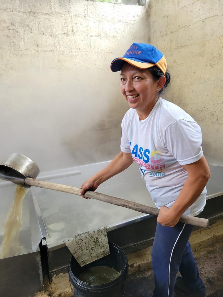
One of the key strengths of the Paisajes Andinos project lies in its work around productive, sustainable value chains, with a notable example being its focus on the production of organic panela, an unrefined cane sugar. The project provides essential infrastructural support to enable farmers to qualify as organic panela producers, including the enhancement of ovens for more efficient production processes. Moreover, the project encourages diversification of products by supporting the production of other crops alongside panela. This diversification not only adds value to the farmers’ offerings but also contributes to their overall resilience. The project promotes sustainable production practices, such as selective harvesting and environmentally friendly approaches, while providing capacity building and training programmes to improve farmers’ skills and knowledge. Furthermore, through organic certification and collaboration, the project facilitates international market access for organic panela, creating broader market opportunities for farmers and increasing their income potential.


🇭🇳 Honduras: Mi Biósfera

About this project

The Integrated Management Project for the Río Plátano Biosphere (Mi Biósfera) aims to protect the Río Plátano Biosphere Reserve, which is one of the last remaining tropical rainforests in Central America and is rich in biodiversity. Mi Biósfera’s objective is to reduce deforestation, protect biodiversity, and improve food security in a pilot area of the biosphere reserve. It focuses on promoting sustainable and integrated landscape management systems through agricultural value chains and zero deforestation approaches. 

The project is divided into five components, including strengthening landscape management, fostering livestock and coffee value chains, implementing a climate financing mechanism, restoring degraded forest areas, and generating knowledge related to climate, biodiversity, and livelihoods.

Coordinated by the Honduran National Institute for Forest, Protected Areas and Wildlife Conservation and Development, the project involves several institutions, including the Zamorano Panamerican Agriculture University, the Honduran Foundation for Rural Business Development, the National University of Agriculture, and the Presidential Climate Change Office, Climate Plus.

Key ILM elements

Stakeholder identification

Preliminary information to map key stakeholders for the Mi Biósfera project’s interventions, the team used a methodology called the ‘Key Stakeholder Mapping’. This is a rapid assessment method that allows the team to understand, in a simple way, the social realities in which the project is immersed, the potential stakeholders present in a territory, how they interact with each other, what their beliefs, values and behaviour are and how they are defined, as well as their perceptions and their influence on the implementation of the Mi Biósfera project. 

Iterative and adaptive management

The Mi Biósfera project also benefits from its integration of scientific research and monitoring. By collaborating with universities, research institutions, and environmental experts, the project has access to cutting-edge knowledge and expertise in the field of conservation and sustainable development. This scientific approach allows for evidence-based decision-making and the continuous evaluation of project outcomes. Monitoring systems are in place to assess the effectiveness of conservation measures, identify emerging challenges, and adapt strategies accordingly. The integration of research and monitoring ensures that the project remains adaptive and responsive to the evolving needs of the ecosystem and the communities it serves. It also provides a valuable platform for knowledge exchange and the dissemination of best practices, both within Honduras and globally, contributing to the broader field of conservation and sustainable development.

Learn more from this project

One notable strength of the Mi Biósfera project lies in its work around productive zero-deforestation cattle ranching. By implementing innovative techniques and practices, the project has reduced carbon emissions associated with cattle farming. Through measures, such as the use of rotational grazing and improved pasture management, the project has minimized the environmental impact of cattle ranching while maintaining high productivity levels. The adoption of sustainable wiring and solar panels for energy supply in ranching operations has further reduced reliance on fossil fuels and contributed to lower carbon emissions. These climate-smart farming practices have demonstrated the efficienct use of land, allowing for increased cattle stocking rates without compromising environmental sustainability. 

Model farm developments have been established to showcase these practices as examples of better resource management, attracting other farmers to adopt similar sustainable and climate-smart farming approaches. The project even reported successful outcome stories in which at least two model farms, Miguel Arias’ Las Marías and Ramón Santos’ Río Negro-Pisijire, have a negative carbon balance. Other positive outcomes include improved soil quality, enhanced water conservation, and increased revenues for farmers, all achieved with fewer human and financial costs.

Read more about sustainable cattle ranching in Latin America and the Carribbean.


🇯🇲 Jamaica: Hills to Ocean

About this project

A Jamaican Path from Hills to Ocean focuses on increasing resilience to climate change and reducing poverty through integrated and sustainable landscape management in three selected watershed management units (WMUs). Its goal is to support community-based organizations, including farmers, fisherfolk, entrepreneurs, and environmental groups, in improving their management and stewardship of targeted areas. A key aspect of the project’s objective is to address the negative impacts of hillside farming, such as soil erosion and landslides during the rainy season.  

Executed by the Planning Institute of Jamaica, the project’s technical implementation is carried out by the Rural Agricultural Development Authority and the Public Gardens Division, both under the Ministry of Agriculture and Fisheries, and the National Environment and Planning Agency. 

Key ILM element

Institutionalization

One salient characteristic of this project lies in the involvement of main implementing agencies that possess mandates for policy action in the landscapes. Agencies such as the National Environment Planning Agency, the Forestry Department, and the Fisheries Division have the authority and expertise to enforce regulations and guidelines for sustainable resource management. Leveraging their legitimacy and institutional capacity, these agencies play a key role in convening stakeholders, including local communities, businesses, and civil society organizations. Through collaborative platforms and participatory processes, they facilitate dialogue, build consensus, and promote sustainable practices. The agencies’ involvement ensures the alignment of policies and actions across different sectors, fostering a holistic and integrated approach to landscape management.

Learn more from this project

During its initial phases, the H2O project conducted a Rapid Ecological Assessment (REA) through the University of the West Indies (Mona). This assessment specifically focused on understanding the dynamics and health of ecosystems in the selected WMUs. It referred to stakeholder activity driving degradation as well as stakeholder impacted by degradation trends. The REA reported data on the level of “resilience” of informants surveyed in each of the WMUs. This assessment served as a basis to identify priority areas for project intervention efforts. 


Organisation of Eastern Caribbean States: OECS-ILM

About this project

This project, implemented by the Organization of Eastern Caribbean States (OECS) and its member states, encompasses nine individual projects tailored to the unique situations of each island. Among these, three (in Anguilla, Dominica, and Grenada) are classified as ILM projects, while six (in Antigua and Barbuda, the British Virgin Islands, Montserrat, St. Kitts and Nevis, St. Lucia, and St. Vincent and the Grenadines) are categorized as isSimple Land Management projects. 

The primary objective is to address challenges such as land degradation, deforestation, and biodiversity loss, with a focus on promoting sustainable land management practices and enhancing ecosystem resilience. The overall project aims to optimize land’s contribution to agriculture, food security, climate change mitigation and adaptation, while preserving ecosystem services and improving the quality of life for stakeholders, including local farmers and communities in selected watersheds and geographic locations.

Key ILM element

Institutionalization

A noteworthy characteristic of the OECS-ILM project is its comprehensive approach that spans nine initiatives across small island developing states. Each initiative is designed to tackle specific issues related to land degradation and sustainable land management, employing customized strategies and interventions based on the individual island’s unique needs and challenges. This diversity of projects provides opportunities to enhance the effectiveness and relevance of the overall programme, as it recognizes the distinct characteristics and requirements of each participating island.

Learn more from this project

Recognizing the significant potential of agroforestry systems, the OECS-ILM project places particular emphasis on their application in countries like St Lucia and Grenada, where they can help mitigate risks associated with hillside farming and soil erosion, especially in hurricane-prone areas. These systems offer opportunities to harness the benefits of trees and perennial crops within agricultural landscapes. 

In Grenada, the project focuses on promoting agroforestry systems that support the cultivation of valuable crops such as nutmeg, cocoa, and other species, which are well-suited to the local conditions and have economic significance. Similarly, in St. Lucia, the initiative aims to establish agroforestry options to diversify existing farming systems, which are currently dominated by dasheen monocultures. Additionally, St. Lucia plans to create an agro-tourism park, further diversifying income sources and promoting sustainable land use practices.

Power, politics and participation in multi-stakeholder processes

A tale of two Brazilian states leads us to really useful tips to design meaningful, inclusive platforms for transformation.
Read at CIFOR-ICRAF’S Forests News

Participatory processes do not guarantee equality, as the interactions within them and in the wider contexts where they are enacted are shaped by power relations that define what kinds of actions are possible,

CIFOR-ICRAF scientists Juan Pablo Sarmiento Barletti, Anne Larson, and Nicole Heise Vigil in a 2021 study on how and why organisers plan their MSPs.

Here’s a cautionary tale for MSF convenors

In the 1990s and early 2000s – in response to calls for participatory land-use planning and concerns about deforestation – Brazil’s state governments began to carry out Ecological-Economic Zoning (ZEE in Portuguese) processes with the aim of collectively laying out land-use plans that were inclusive and sustainable. These processes were mandated to be developed and implemented using multi-stakeholder participatory mechanisms.

The two ended up with very different results, as described in this paper.

Acre and Mato Grosso are two landlocked Brazilian states, both of which contain part of the Amazonian rainforest. Acre’s ZEE map, completed in 2007, was widely hailed for advancing collective benefits and sustainability. For Mato Grosso, in contrast, the ZEE process was disastrous: it reflected deep-seated social and political conflicts, and to this day the state does not have a ZEE map, despite a number of valiant attempts by different parties to develop one. So, why did the two processes, which fell under the same federal mandate, turn out so differently?

This excellent article from CIFOR-ICRAF’s Forests News, not only outlines the different results and reasons behind them, but also provides links to really useful tools and resources to enable you to design and implement a multi-stakeholder process that’s far more like that of Acre, “widely hailed for advancing collective benefits and sustainability”, than of Mato Grosso, where “the ZEE process was disastrous: it reflected deep-seated social and political conflicts, and to this day the state does not have a ZEE map, despite a number of valiant attempts by different parties to develop one.”

… a lively living being, consistent with the identity of the populations living in the managed territory.

Acre government’s description of the map-making process after the addition of a cultural-political axis or ‘ethno-zoning’

Want to emulate that success in your own MSF?

Researchers and others at the Center for International Forestry Research and World Agroforestry (CIFOR-ICRAF), along with partners in diverse organisations and locations around the world, have been exploring how MSFs might better achieve their goals in the future, within their Governance, Equity and Wellbeing programme. They’ve found a number of conceptual and practical measures to better take these social dimensions into account.

Find out more in this short video:


Practical fact sheets designed for you

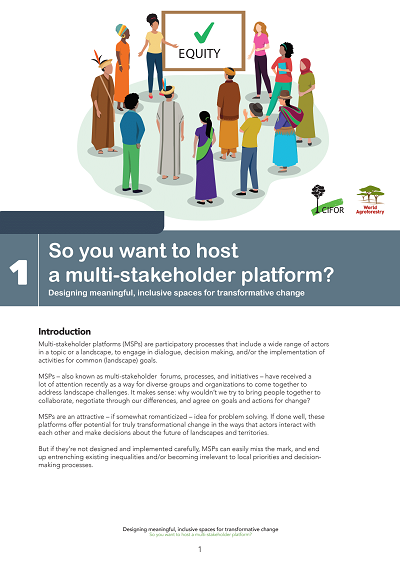
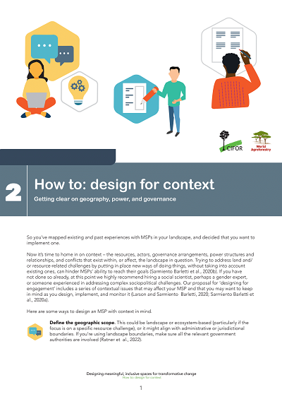
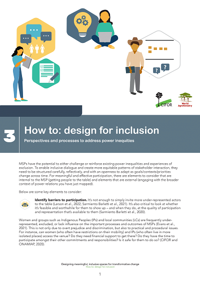
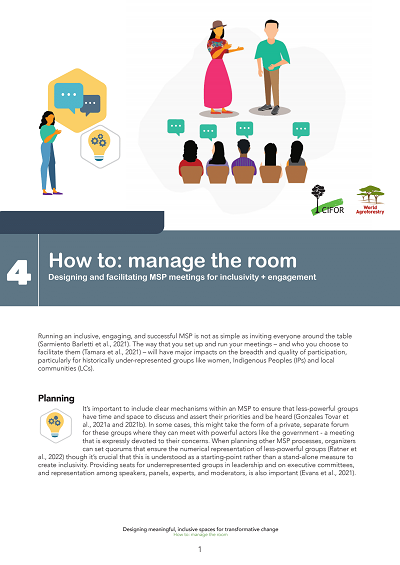
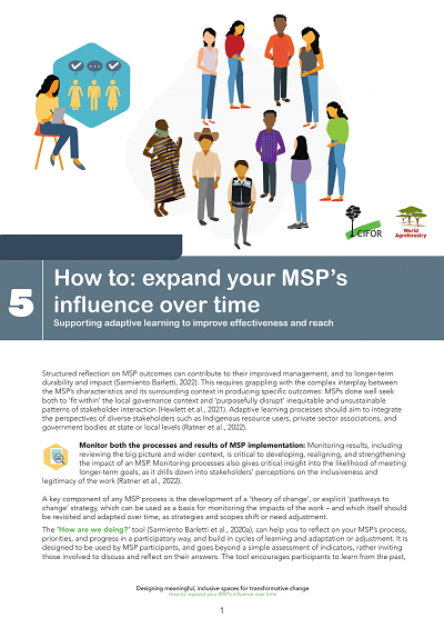
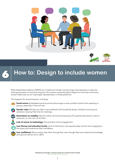
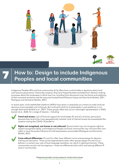
To support participants and implementers in this multifaceted process of making MSPs more equitable and effective, CIFOR-ICRAF has produced a series of simple, accessible infosheets and ‘how-to’ guides. “We often take too much for granted in MSPs,” says author Anne Larson. “Some considerations are simple – like changing where the platform is held, or adjusting seating arrangements; and some require deeper strategic thinking. Our research has unearthed a host of practical steps that convenors can take to help empower marginalised stakeholders and create lasting impact.”

Click any image below to download its factsheet pdf.

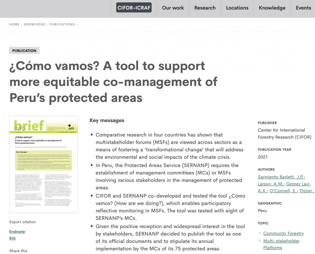
¿Cómo vamos? A tool to support more equitable co-management of Peru’s protected areas

This brief presents the findings of an assessment conducted in Peru to understand and verify the adoption, outcomes, and potential impacts of the participatory reflective monitoring tool called "¿Cómo vamos?" (How are we doing?) in multistakeholder forums (MSFs). MSFs are recognized as a means of fostering transformative change to address the environmental and social impacts of the climate crisis. In Peru, the Protected Areas Service (SERNANP) mandates the establishment of MSFs or management committees (MCs) involving various stakeholders in the management of protected areas. The tool was co-developed and tested by CIFOR and SERNANP with eight MCs. The positive reception and interest in the tool led SERNANP to publish it as an official document and require its annual implementation by the MCs of its 75 protected areas. This assessment provides insights into the adoption, outcomes, and potential impacts of the tool in Peru.

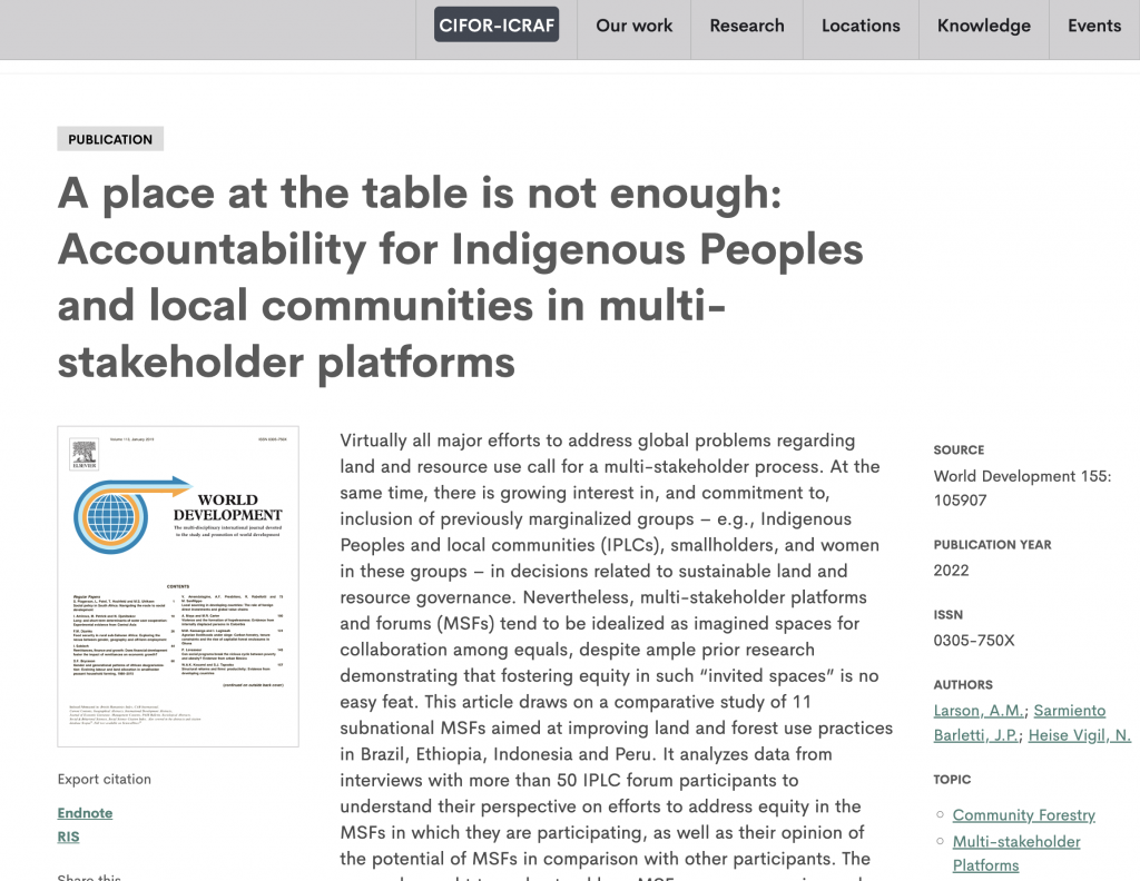
A place at the table is not enough: Accountability for Indigenous Peoples and local communities in multi-stakeholder platforms

This article explores the challenges of achieving equity in multi-stakeholder platforms and forums (MSFs) focused on sustainable land and resource governance. Drawing on a comparative study of 11 subnational MSFs in Brazil, Ethiopia, Indonesia, and Peru, the article examines the perspectives of Indigenous Peoples and local communities (IPLCs) who participate in these forums. The research aims to understand how MSFs can ensure voice, empowerment, and address inequality, while being accountable to the needs and interests of IPLCs. The findings highlight the optimism of IPLC participants but also reveal accountability failures. The article argues for greater strategic attention to how marginalized groups perceive their participation in MSFs and proposes ways to foster collective action and hold more powerful actors accountable to achieve equality, empowerment, and justice.
Download from CIFOR

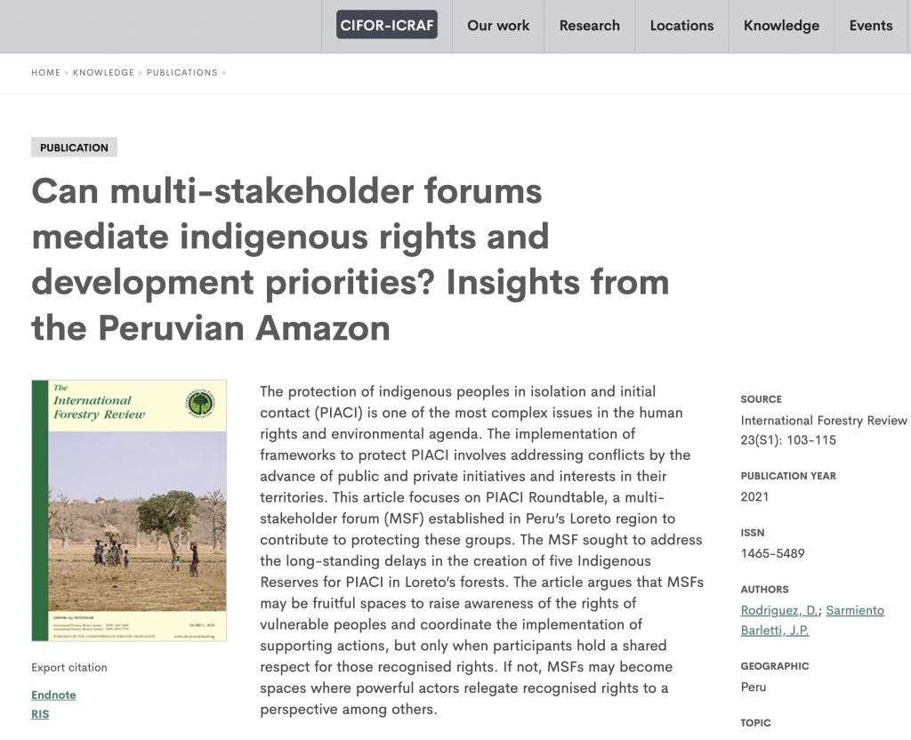
Can multi-stakeholder forums mediate indigenous rights and development priorities? Insights from the Peruvian Amazon

This article examines the role of a multi-stakeholder forum (MSF) called PIACI Roundtable in protecting indigenous peoples in isolation and initial contact (PIACI) in Peru's Loreto region. The MSF aimed to address delays in establishing Indigenous Reserves for PIACI. The article highlights the potential of MSFs to raise awareness and coordinate actions for vulnerable groups, but emphasizes the importance of shared respect for recognized rights among participants. Without such respect, MSFs may prioritize other perspectives over the rights of marginalized communities.
Download from CIFOR

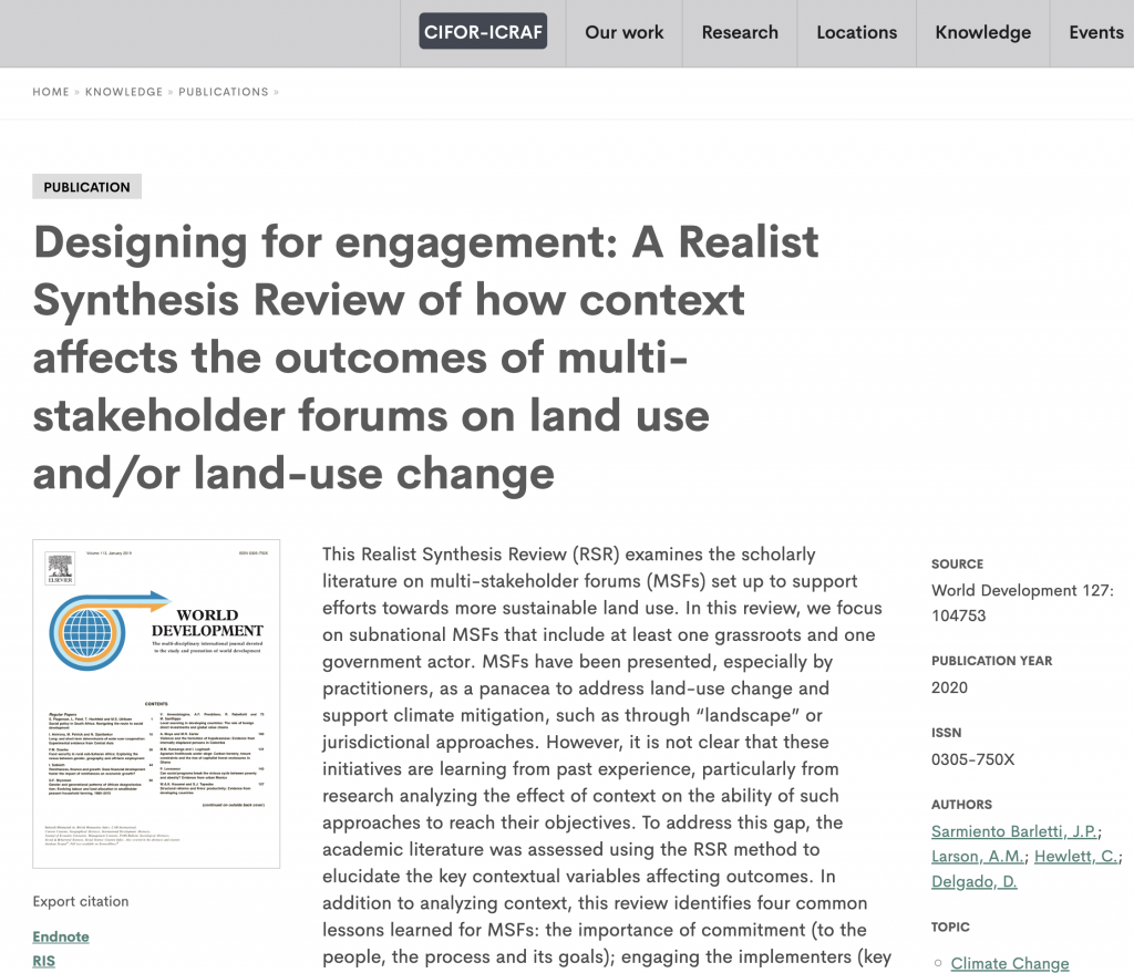
Designing for engagement: A Realist Synthesis Review of how context affects the outcomes of multi-stakeholder forums on land use and/or land-use change

This Realist Synthesis Review analyses scholarly literature on multi-stakeholder forums (MSFs) for sustainable land use. It focusses on subnational MSFs involving grassroots and government actors. The review highlights key contextual variables and identifies four common lessons: commitment, engagement of implementers, openness to stakeholders, and adaptive design. Successful MSFs are recognized as part of a transformative process, involve research and meetings, build consensus and commitment, and prioritize adaptive learning. The central lesson is to design for engagement that addresses the context for greater success.
Download from CIFOR